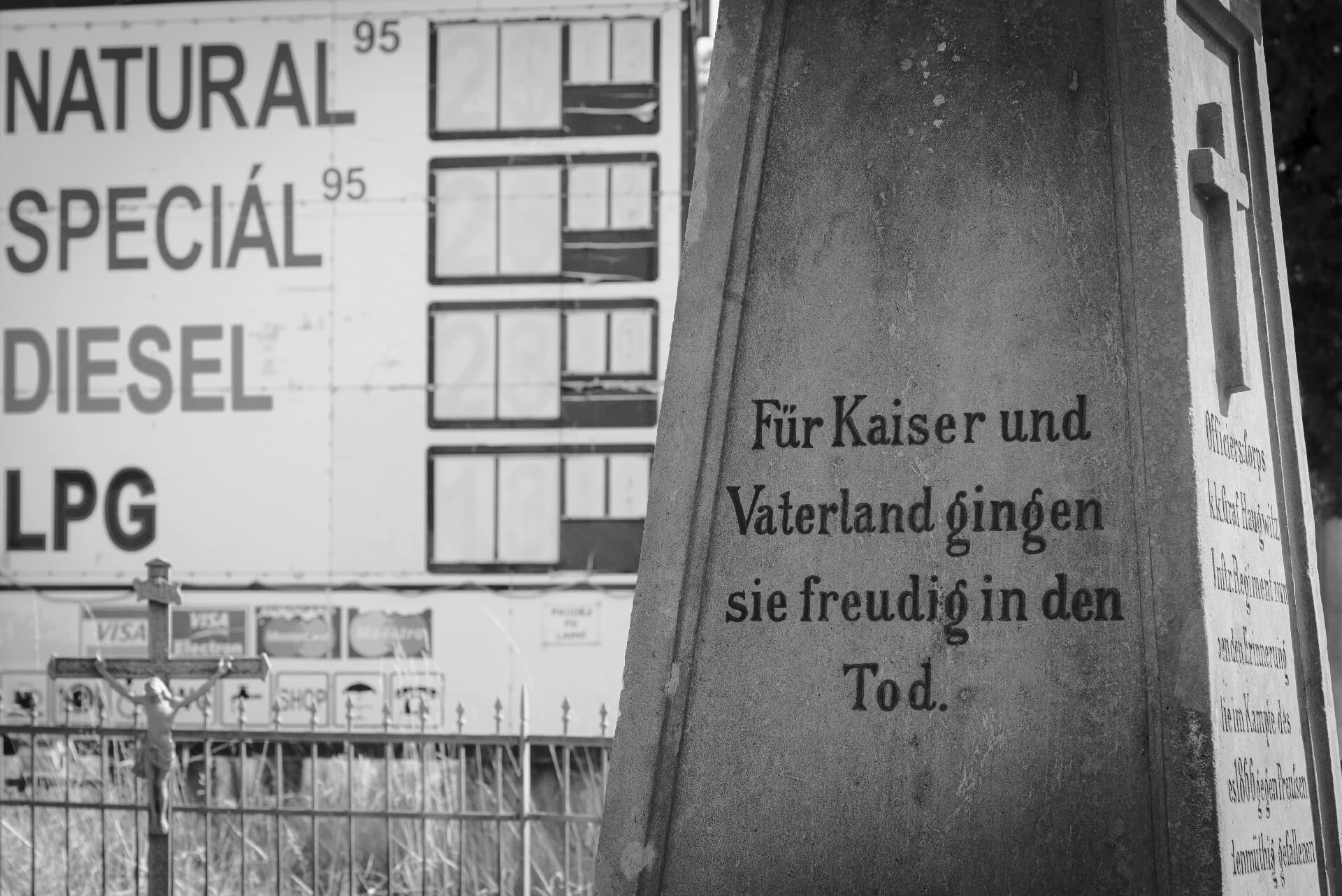
“They joyfully died for the emperor and the fatherland”
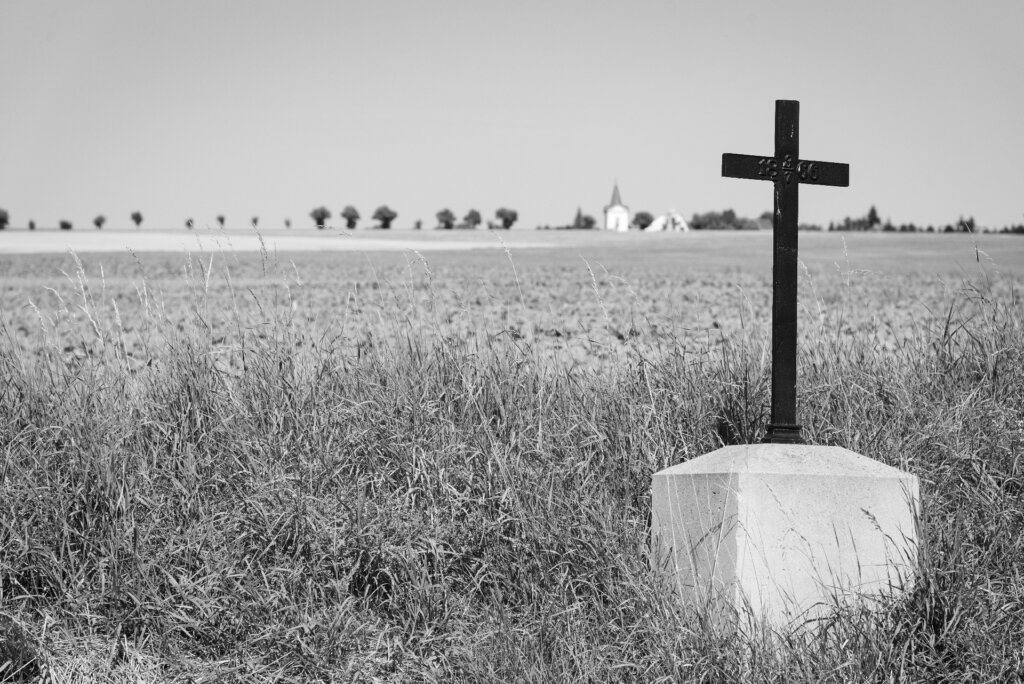
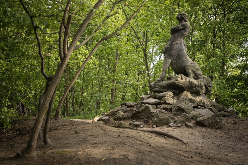
Claims like these can be read in abundance on countless monuments that were erected scattered across the battlefield of Koeniggraetz (Czech: Hradec Králové) after the defeat of the Austrians and Saxons against the Prussians in the German War. Such monarchist-patriotic propaganda, which was common until the end of the First World War, often leaves today’s observers perplexed and confused in the face of current wars.
Prussia celebrated the victory, which was a milestone on the way to the founding of the German Empire in 1871, with, among other things, the “Koeniggraetz March”, which is still part of the repertoire of the German army’s music corps. The Austro-Hungarian monarchy, whose territory at the time also included eastern Bohemia, erected the memorials after its defeat.
A novel I had recently read, which also touched on the Battle of Königgrätz, was the reason for visiting the landscape that today seems so peaceful and lovely, but which on July 3, 1866 became a place of unimaginable horror: on both sides, more than 7,500 people were killed, just as many were missing and 15,000 were wounded as a result of the fighting in a single day. In addition to people, 7,000 horses also fell victim to the massacre.
There is an eyewitness report in an issue of the old German magazine “Gartenlaube“: “The forest had been so devastated by Austrian grapeshot as if the old spruces and pines had been shattered by a terrible hailstorm. Ditches and fields were littered with the corpses of men and horses, knapsacks, helmets and caps, mess kits, bayonets and bayonets, grenades, needle guns and Austrian rifles – all mixed up and on top of each other. … Close to the entrenchments, however, hundreds of dead bodies from both warring parties lay, in places two or three on top of each other; behind the entrenchments, towards Königsgrätz, the wide plains looked speckled with the corpses of the Austrians. Some of the dead lay in the position in which they had fallen, arms and legs stretched out on the ground; others looked as if they had rolled over like wounded hares and collapsed. Many of the corpses had covered their faces with handkerchiefs; Either they had prepared themselves for the death they expected, or compassionate comrades had done them this last act of kindness. … The collision in the woods to the right of the rampart near Chlum must have been terrible. Here the corpses were often piled up so densely over long stretches that one had to be careful not to step on them when walking. An Austrian hunter was also lying in the trench at this point, with his rifle with the hammer cocked in his left hand and the four-slit percussion cap in his raised right hand between thumb and forefinger, which I took with me as a souvenir. All of the corpses had their eyes open, often had hard pieces of bread in their hands and mostly had wild, pain-contorted facial expressions.”
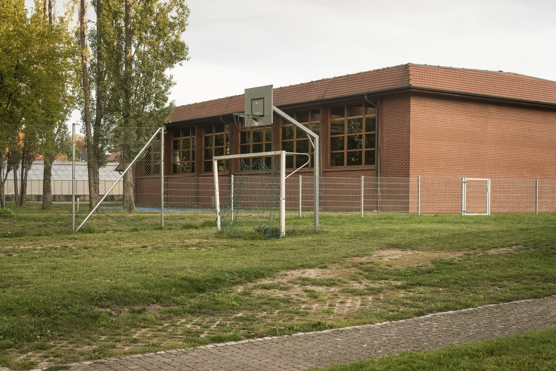
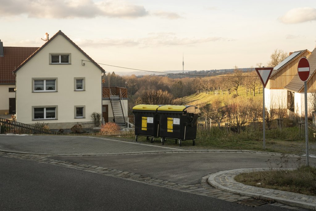
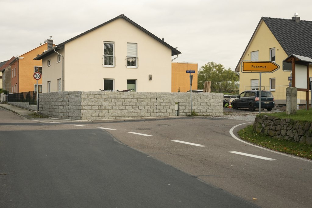
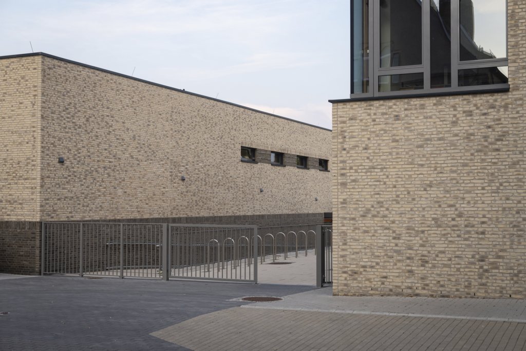
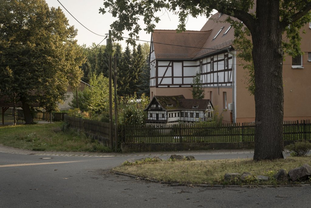
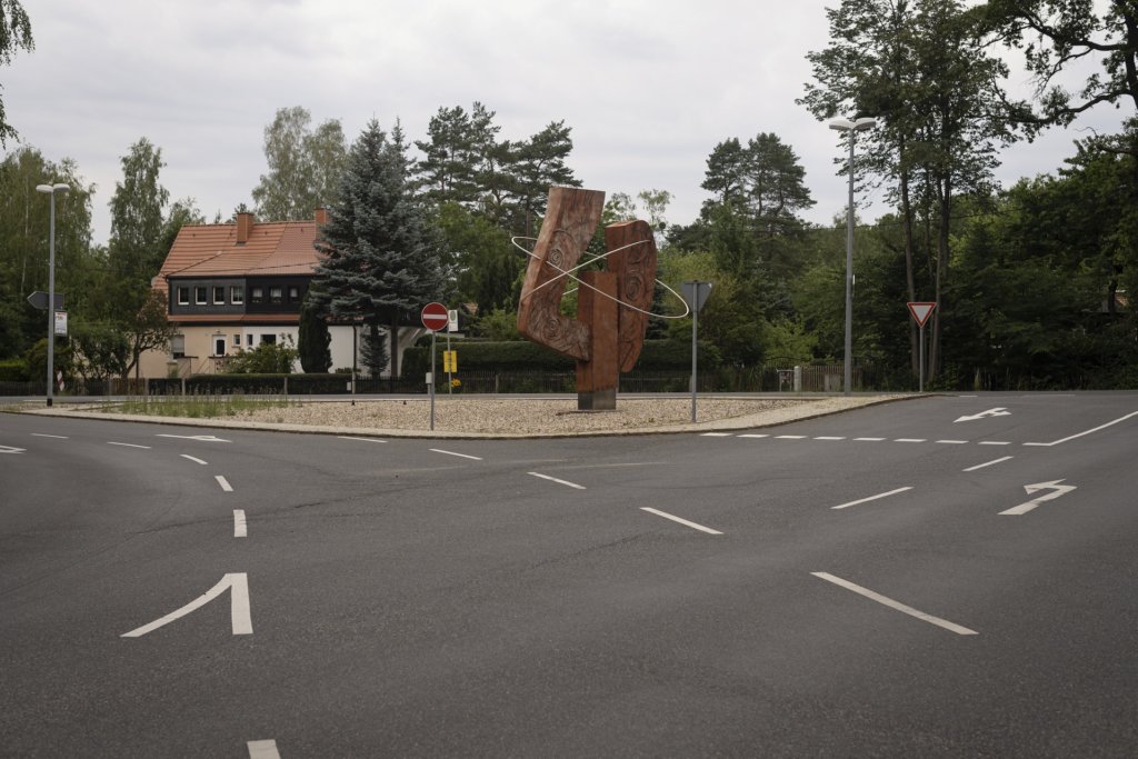
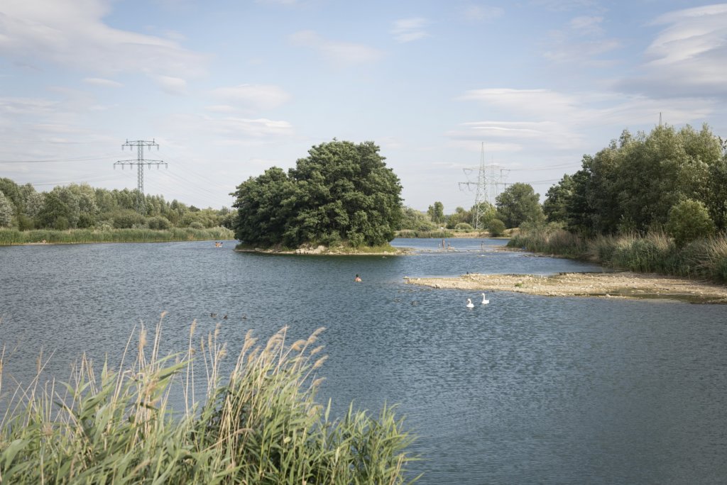
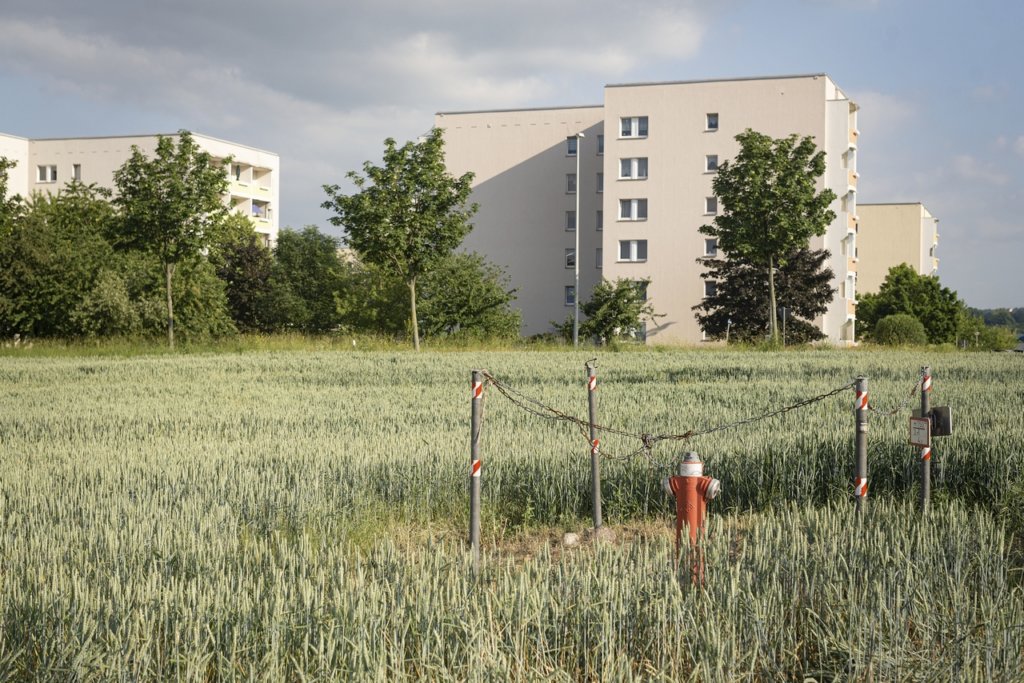
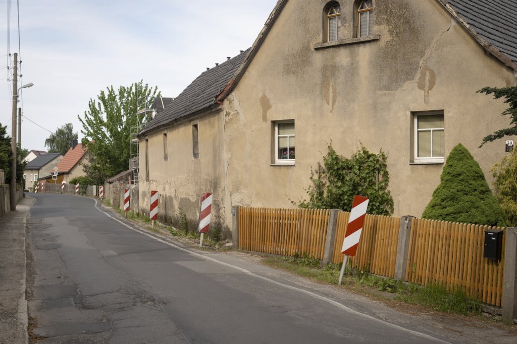
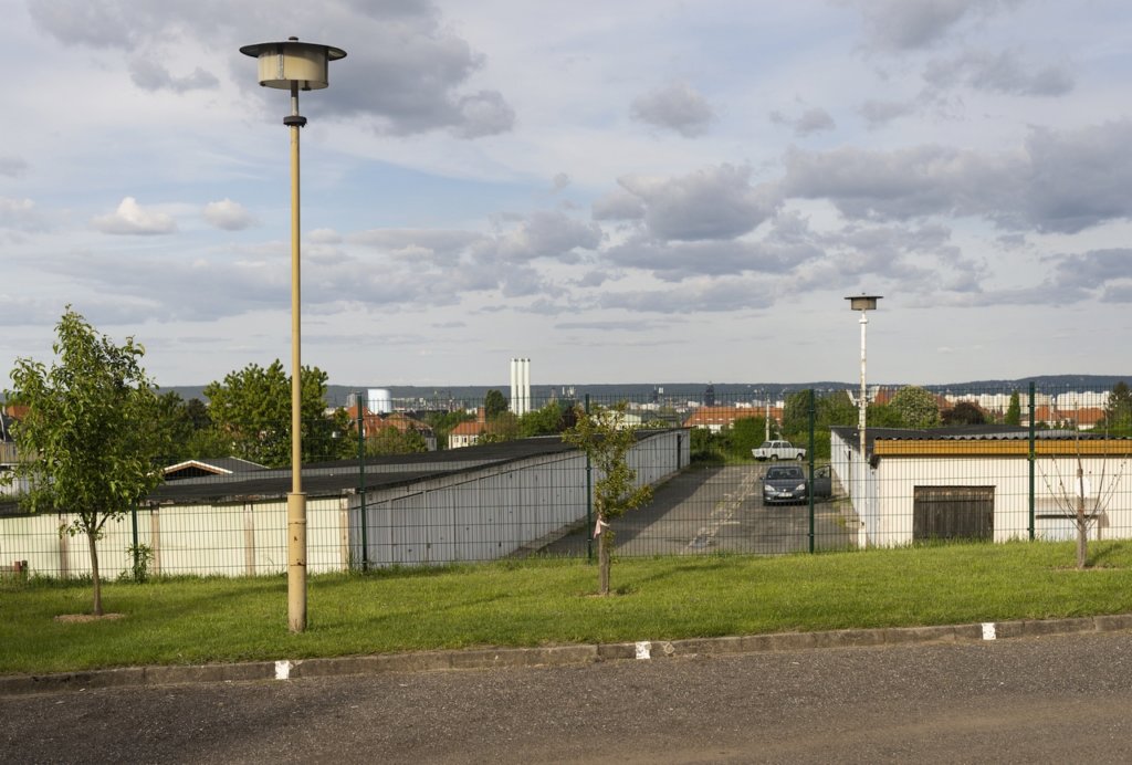
Today’s visitors experience the former battlefield as a place of peace; the Czechs, following the Austrians, have taken on the role of custodians of the memory of the victims of the battle.
The results of my photographic excursion are summarized here:
