Tag: Dokumentation

  • Koeniggraetz 1866

    Koeniggraetz 1866

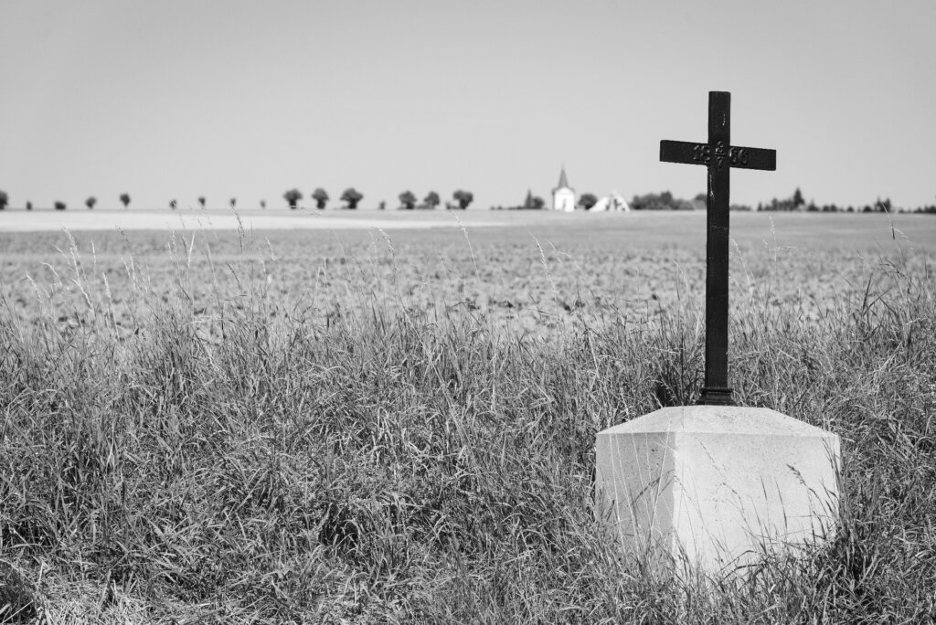
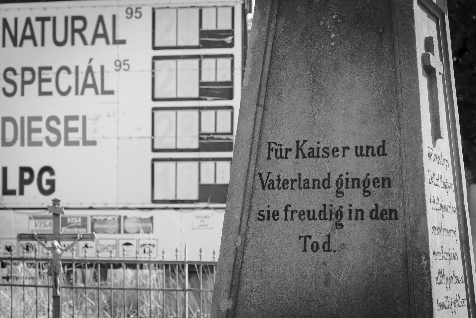
    “They joyfully died for the emperor and the fatherland”

    Claims like these can be read in abundance on countless monuments that were erected scattered across the battlefield of Koeniggraetz (Czech: Hradec Králové) after the defeat of the Austrians and Saxons against the Prussians in the German War. Such monarchist-patriotic propaganda, which was common until the end of the First World War, often leaves today’s observers perplexed and confused in the face of current wars.

    Prussia celebrated the victory, which was a milestone on the way to the founding of the German Empire in 1871, with, among other things, the “Koeniggraetz March”, which is still part of the repertoire of the German army’s music corps. The Austro-Hungarian monarchy, whose territory at the time also included eastern Bohemia, erected the memorials after its defeat.

    A novel I had recently read, which also touched on the Battle of Königgrätz, was the reason for visiting the landscape that today seems so peaceful and lovely, but which on July 3, 1866 became a place of unimaginable horror: on both sides, more than 7,500 people were killed, just as many were missing and 15,000 were wounded as a result of the fighting in a single day. In addition to people, 7,000 horses also fell victim to the massacre.

    There is an eyewitness report in an issue of the old German magazine “Gartenlaube“: “The forest had been so devastated by Austrian grapeshot as if the old spruces and pines had been shattered by a terrible hailstorm. Ditches and fields were littered with the corpses of men and horses, knapsacks, helmets and caps, mess kits, bayonets and bayonets, grenades, needle guns and Austrian rifles – all mixed up and on top of each other. … Close to the entrenchments, however, hundreds of dead bodies from both warring parties lay, in places two or three on top of each other; behind the entrenchments, towards Königsgrätz, the wide plains looked speckled with the corpses of the Austrians. Some of the dead lay in the position in which they had fallen, arms and legs stretched out on the ground; others looked as if they had rolled over like wounded hares and collapsed. Many of the corpses had covered their faces with handkerchiefs; Either they had prepared themselves for the death they expected, or compassionate comrades had done them this last act of kindness. … The collision in the woods to the right of the rampart near Chlum must have been terrible. Here the corpses were often piled up so densely over long stretches that one had to be careful not to step on them when walking. An Austrian hunter was also lying in the trench at this point, with his rifle with the hammer cocked in his left hand and the four-slit percussion cap in his raised right hand between thumb and forefinger, which I took with me as a souvenir. All of the corpses had their eyes open, often had hard pieces of bread in their hands and mostly had wild, pain-contorted facial expressions.”

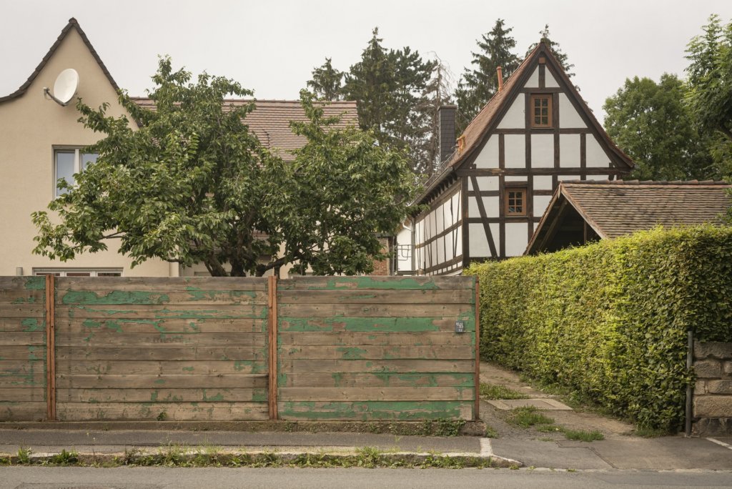
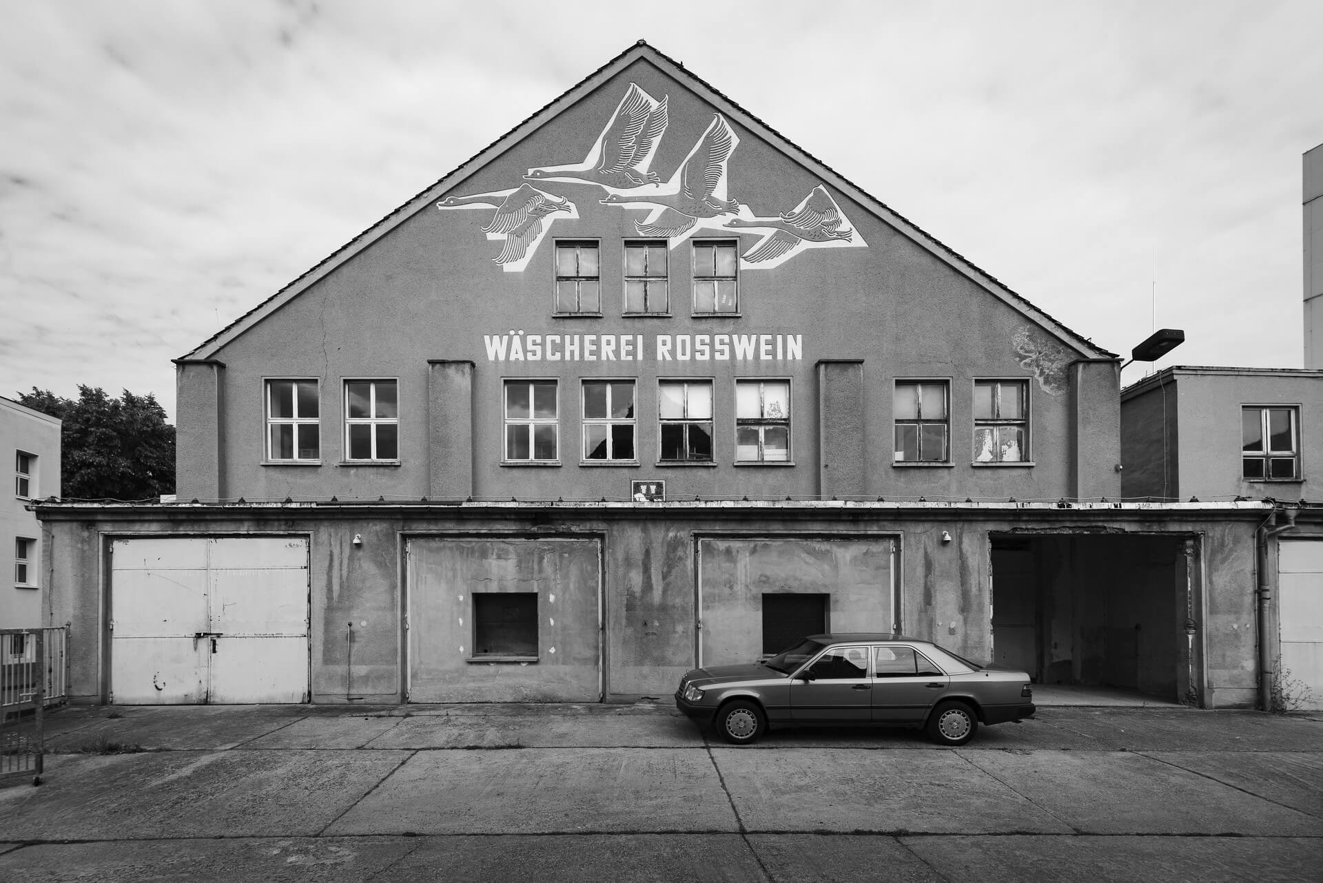
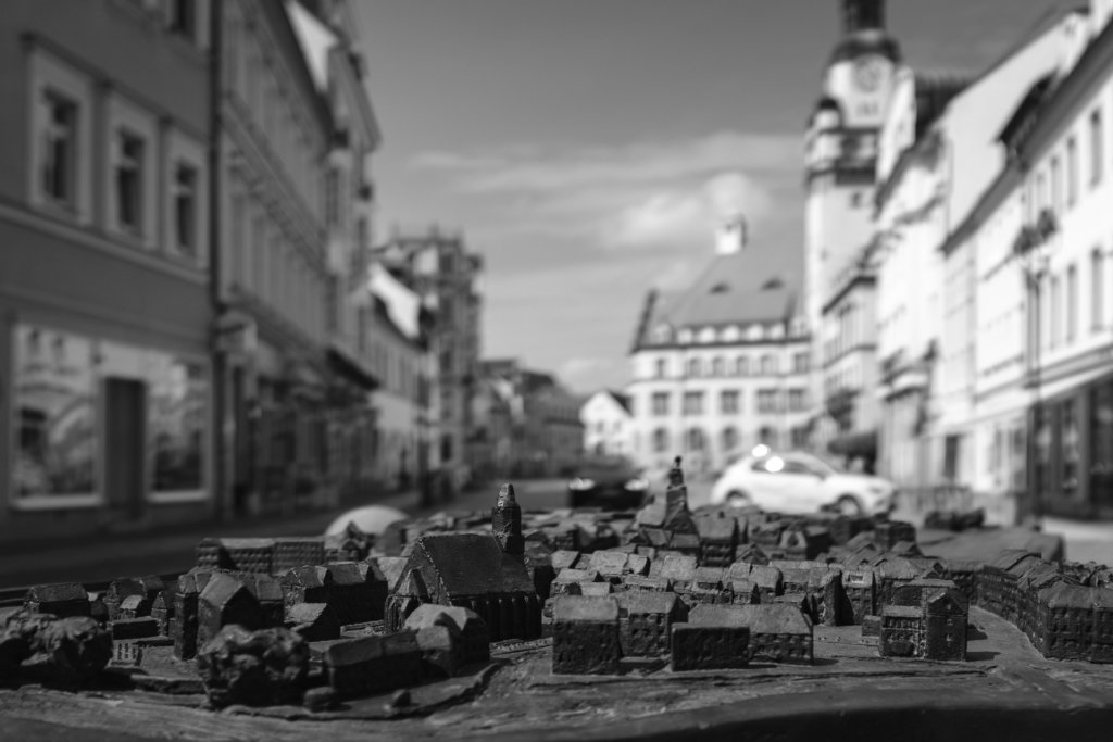
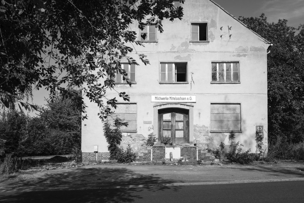
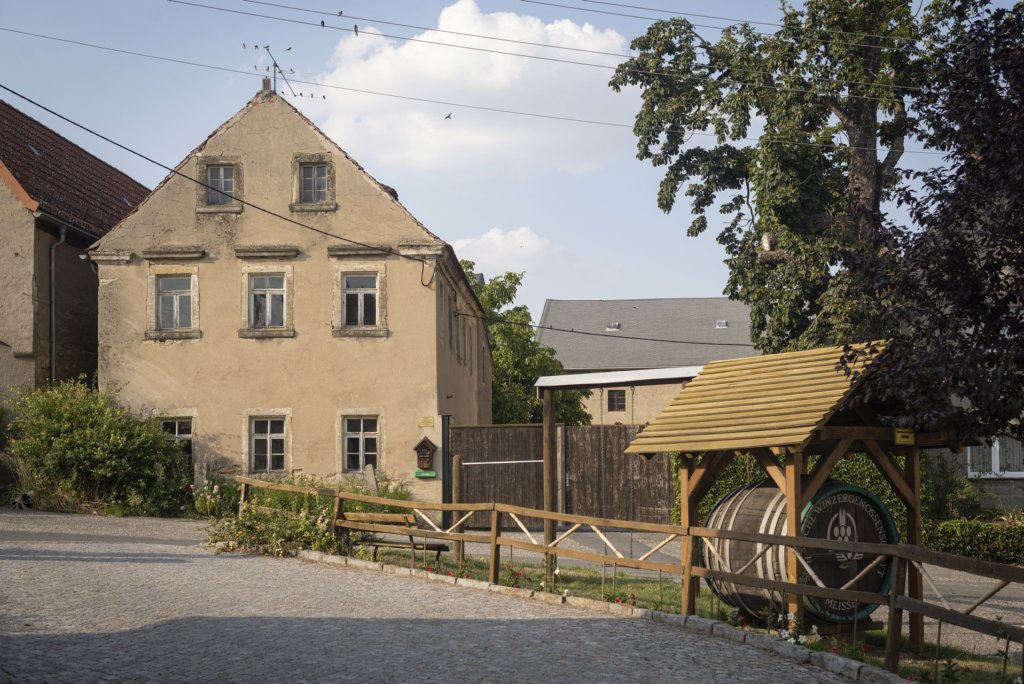
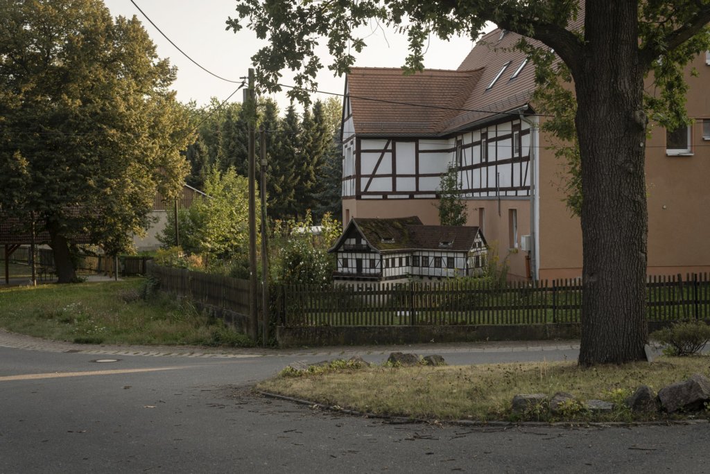
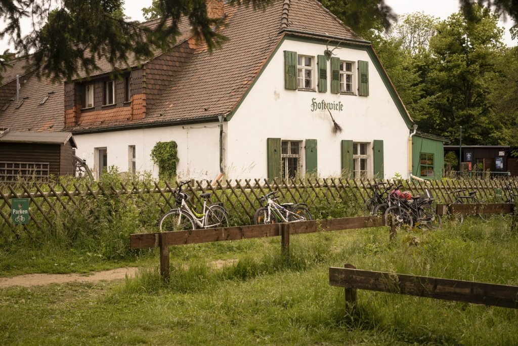
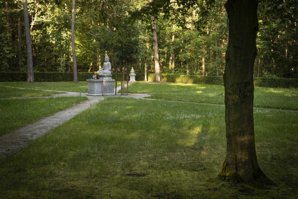
    Today’s visitors experience the former battlefield as a place of peace; the Czechs, following the Austrians, have taken on the role of custodians of the memory of the victims of the battle.

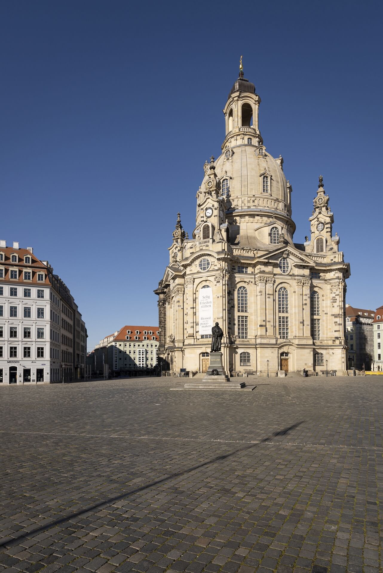
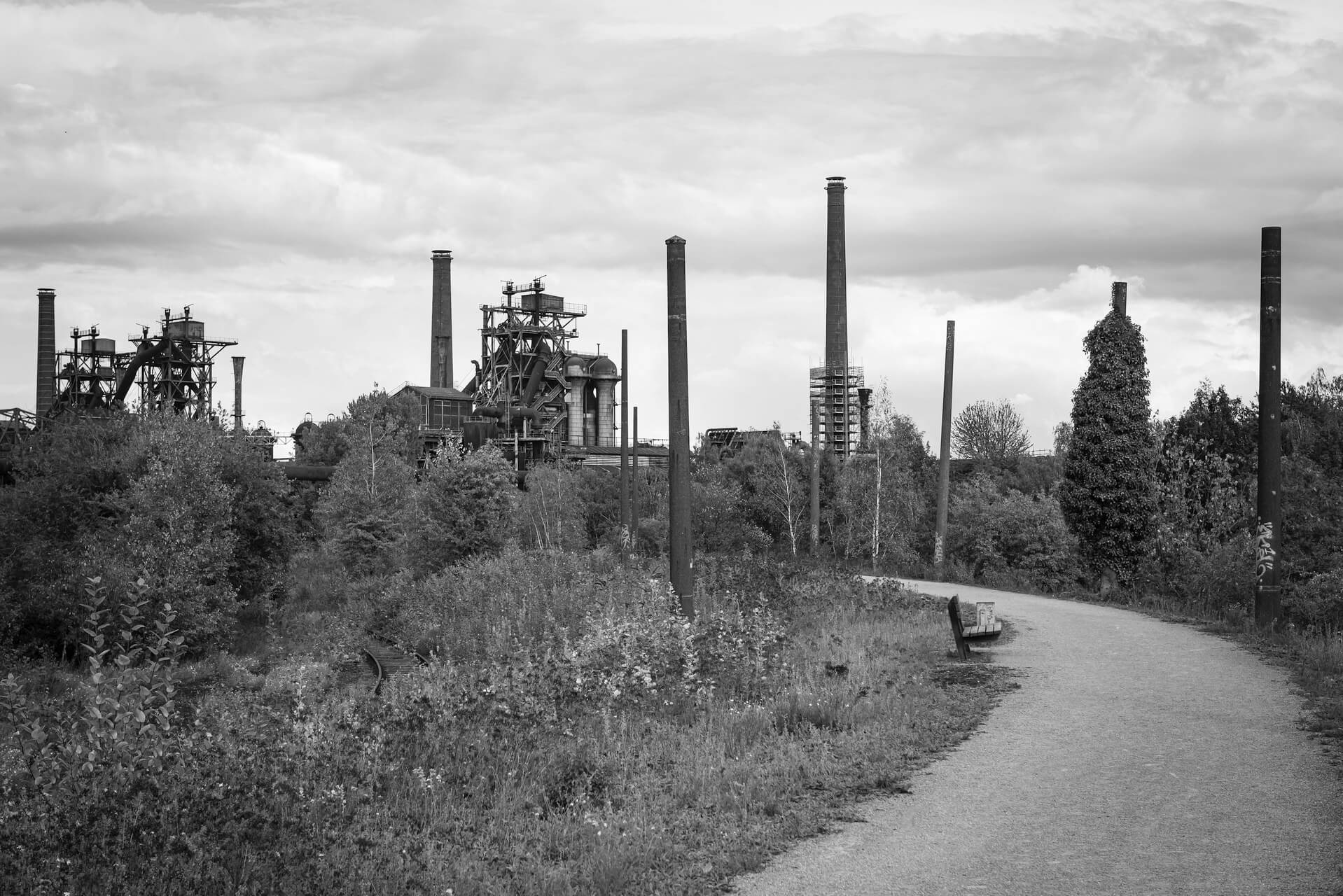
    The results of my photographic excursion are summarized here:

    Battlefields at Koeniggraetz 1866
  • Dresden 50mm – final update

    Dresden 50mm – final update

    With the visit to the district of Borsberg on the last day of 2020, the Dresden – 50mm project came to a preliminary photographic conclusion. Since the beginning in 2015 I have roamed through 120 Dresden city districts, made observations and recorded my impressions. This final update introduces the 15 districts that were still missing:

    • Borsberg
    • Brabschuetz
    • Cossebaude
    • Kauscha
    • Kleinzschachwitz
    • Leubnitz-Neuostra
    • Lockwitz
    • Loschwitz
    • Marsdorf
    • Oberpoyritz
    • Oberwartha
    • Pillnitz
    • Rennersdorf
    • Soebrigen
    • Torna
    Dresden - Borsberg
    Borsberg
    Dresden - Brabschuetz
    Brabschuetz
    Dresden - Cossebaude
    Cossebaude
    Dresden - Kauscha
    Kauscha
    Dresden - Kleinzschachwitz
    Kleinzschachwitz
    Dresden - Leubnitz-Neuostra
    Leubnitz-Neuostra
    Dresden - Lockwitz
    Lockwitz
    Dresden - Loschwitz
    Loschwitz
    Dresden - Marsdorf
    Marsdorf
    Dresden - Oberpoyritz
    Oberpoyritz
    Dresden - Oberwartha
    Oberwartha
    Dresden - Pillnitz
    Pillnitz
    Dresden - Rennersdorf
    Rennersdorf
    Dresden - Söbrigen
    Soebrigen
    Dresden - Torna
    Torna
  • Central Saxony – Lights and Shadows

    Central Saxony – Lights and Shadows

    Central Saxony, in the sense of this small photographic field trip, is wider than the Saxon district of the same name. A region was roamed, which is bordered by the Elbe river between Dresden and Torgau in the east and between Chemnitz and Leipzig in the west. At the center of my observations were small and medium-sized towns, whose names are not unknown from signposts along the A4 and A14 motorways or as railway stations, but so far have mostly been blind spots on my visual map.

    Most of these cities and towns have in common an almost perfectly refurbished center – at least the marketplace, thanks to the money invested over the past 30 years. This condition is probably been unparalleled in the history of these places. Most of the time, the splendor that pleases the viewers eye is not a publicly displayed wealth; rather, the whitewash applied covers the problems of a region that has been struggling with deindustrialization and emigration since the early 1990s.

    Without looking for it, one comes across evidence and relics of decay, especially of older dates, in many places, but also objects whose origins lie in more recent times. To depict some facets of this contradiction was the goal of a multi-day trip through a region that was previously almost unknown to me. The results of my photographic notes are summarized in two series.

    Series 1: Wilsdruff, Rosswein, Doebeln, Waldheim, Burgstaedt, Amerika, Lunzenau, Rochlitz, Colditz, Grimma, Wurzen

    fotografische Notizen aus Sachsen, das Gebiet zwischen Dresden, Chemnitz und Leipzig

    Series 2: Eilenburg, Torgau, Belgern, Dahlen, Oschatz, Muegeln, Oschatz, Wermsdorf, Mutzschen, Leisnig, Lommatzsch

    fotografische Notizen aus Sachsen, das Gebiet zwischen Dresden, Chemnitz und Leipzig


    The following pages provide a location-based index of the photographs.

  • Dresden in spring 2020

    Dresden in spring 2020

    Since the beginning of the year, the COVID-19 virus has spread worldwide with increasing speed. To slow down the spread, areas were closed off, borders closed and social distancing practiced. Since March 21st, far-reaching restrictions have also applied in Dresden: after schools and universities, kindergartens, theaters, museums and cinemas had previously been closed, the citizens of the city are now only asked to use their home environment in exceptional cases, e.g. for grocery shopping and doctor visits or for the way to work.

    Especially in the center of Dresden it is almost deserted, because of course, apart from the inhabitants, the otherwise numerous tourists and visitors to the cultural institutions are missing here. The orphaned places have a peculiar charm, the sight is too unusual, at the same time, despite the spring-like weather, the anxiety that the lack of people causes is palpable.


    -> more photographs

  • Flying visit in the “Pott”

    Flying visit in the “Pott”

    About 1000 kilometers lie between the Upper Silesian and the Rhine-Westphalian industrial area. In the past few years, I have covered the 500km in eastern direction several times to realize the photo project Górny Slask. In 2019, I headed west to visit an industrial region with a similar history for the first time.

    Both regions were and are dominated by the mining industry, whose decline and the associated transformation processes in the Ruhr area began at the end of the 1950s, while in Upper Silesia the change began with the fall of the Iron Curtain and with the accession of Poland to the European Union drive accelerated.

    The last active colliery in the Ruhr area was closed at the end of 2018. Poland holds the leading position in Europe in terms of coal, although production is on the decline, but still represents the backbone of Polish heavy industry.

    The change in the Ruhr area is far advanced, dumps are greened, abandoned factories and brownfields became landscaped parks. However, awareness of the cultural value of the remains and evidences of industrial history also grew in the early 1970s. Exemplary here  Zollverein colliery and coking plant, today recognized UNESCO World Heritage Site, the Landscape Park Duisburg-Nord and the colliery Zollern, Germany’s first industrial monument whose demolition was prevented in 1969.

    Primarily in these places, the photo series were taken:
    Note: Clicking on a photo starts the corresponding gallery view.

    Ruhrgebiet, Industriekultur, Zeche Zollern
    machines, steel and rust
    Ruhrgebiet, Industriekultur, Zeche Zollverein, Detail
    monochrome
    Ruhrgebiet, Industriekultur, Zeche Zollverein
    colours of the ‘Pott’
    Ruhrgebiet, Industriekultur, Kokerei Zollverein
    film photographs

    Note: Clicking on a photo starts the corresponding gallery view.

  • Dresden 50mm – late summer growth

    Dresden 50mm – late summer growth

    In the past few weeks, too, I let myself be thrown all over Dresden, to continue with my project started in 2015: Dresden 50mm. Photographs were taken in nine urban districts:

    • Leuben
    • Merbitz
    • Meusslitz
    • Podemus
    • Rochwitz
    • Roitzsch
    • Rossendorf
    • Sporbitz
    • Unkersdorf

    All previously created photo series are shown on the project page.

    Dresden - Leuben
    Dresden – Leuben
    Dresden - Merbitz
    Dresden – Merbitz
    Dresden - Meußlitz
    Dresden – Meußlitz
    Dresden - Podemus
    Dresden – Podemus
    Dresden - Rochwitz
    Dresden – Rochwitz
    Dresden - Roitzsch
    Dresden – Roitzsch
    Dresden - Rossendorf
    Dresden – Rossendorf
    Dresden - Sporbitz
    Dresden – Sporbitz
    Dresden - Unkersdorf
    Dresden – Unkersdorf


  • Eisenhuettenstadt – A photographic tour …

    Eisenhuettenstadt – A photographic tour …


    … in a town of real existing socialism 30 years after its demise

    ‘Hütte’ (acronym for ironworks), as the town on the west bank of the Oder is affectionately known by its inhabitants, was built at the beginning of the 50s of the last century as a socialist planned city and is today the largest surface monument in Germany.

    The construction of Eisenhüttenstadt goes back to a decision of the 3rd Party Congress of the SED in 1950, which provided for the construction of an ironworks and an associated socialist residential town near Fürstenberg on the Oder river. In the same year, the ground was broken for the factory and the city.

    Built in the style of socialist classicism, it was initially part of Fürstenberg, but was dissolved in 1953. The planned designation after Karl Marx was rejected after the death Stalin in its favor. Until 1961 the town was officially called Stalinstadt, in the vernacular also ‘Schrottgorod’. In the course of de-Stalinization, it was renamed Eisenhüttenstadt.

    Eisenhüttenstadt


    Built in the style of socialist classicism, it was initially part of Fürstenberg, but was dissolved in 1953. The planned designation after Karl Marx was rejected after the death Stalin in its favor. Until 1961 the town was officially called Stalinstadt, in the vernacular also ‘Schrottgorod’. In the course of de-Stalinization, it was renamed Eisenhüttenstadt.

    The population increased steadily until the end of the 80s and reached 53,000 inhabitants. The steelworks employed up to 16,000 people. The political end of the GDR was followed by the economic decline of the East German Steelworks, which was no match for Western competition. The threatening end of the work would probably have meant the end of the city. Therefore, it was a political decision to subsidize the privatization with, among other things, EU funds. Today, the plant belongs to the ArcelorMittal Group and still employs 2,500 people.

    The shrinkage of the city, which began in 1990 as a continuous process, was only slightly dampened. By 2018, Eisenhüttenstadt has lost a good half of its population.

    The visit to the city, which resembles a journey through time, conveys a peculiar mood: streets, squares and many buildings appear oversized, measured by the current conditions. Buildings from recent times are missing almost completely, because there is simply no need for it. The city seems strangely empty and inanimate – right in the center, no wonder, if half of the original inhabitants are missing.

    Eisenhüttenstadt

    The renovation in the urban core area has made great progress, so that individual buildings with uncertain future become particularly obvious. Suddenly you also get into areas of the city, which are characterized by vacancy and demolition. Hard to say what future the city is imminent, beyond which as a monument to socialist urban planning and architecture.


    Eisenhüttenstadt

    >>> photo series Eisenhüttenstadt

  • Dresden 50mm – First half completed

    Dresden 50mm – First half completed

    Recently my project Dresden 50mm celebrated its first half finish. With the current update now 62 districts are visited, while 59 divisions of Dresden are still waiting to be inspected. Following the random principle, the patchwork carpet of the city map will further discolour in the following months until the full white and gray of the card face the colors of the photo series.

    Dresden: besuchte Stadtteile
    Dresden: visited districts (white/gray)

    The 10 new arrivals include the neighborhoods:

    • Albertpark
    • Dobritz
    • Dresdner Heide
    • Junge Heide / Heidefriedhof
    • Kleinpestitz
    • Langebrueck
    • Nausslitz
    • Raecknitz
    • Rossthal
    • Schoenborn
    Dresden - Albertpark
    Dresden – Albertpark
    Dresden - Dobritz
    Dresden – Dobritz
    Dresden - Dresdner Heide
    Dresden – Dresdner Heide
    Dresden - Junge Heide
    Dresden – Junge Heide
    Dresden - Kleinpestitz
    Dresden – Kleinpestitz
    Dresden - Langebrück
    Dresden – Langebrueck
    Dresden - Naußlitz
    Dresden – Nausslitz
    Dresden - Räcknitz
    Dresden – Raecknitz
    Dresden - Roßthal
    Dresden – Rossthal
    Dresden - Schönborn
    Dresden – Schoenborn