Tag: contemporary history

  • Guben – Gubin

    Guben – Gubin

    GUBEN – “PEARL OF LOWER LUSATIA”,

    a historical title, today disputed and only used by a few local patriots and local historians in reference to their town, certainly had its justification in the past, at the end of the 19th and beginning of the 20th century. During this time, the town on the Neisse experienced its heyday, the textile industry, above all the millinery industry, brought considerable prosperity to the town, and in 1874 the Guben municipal theatre opened – today you have to drive at least 25 km to go to the next cinema.

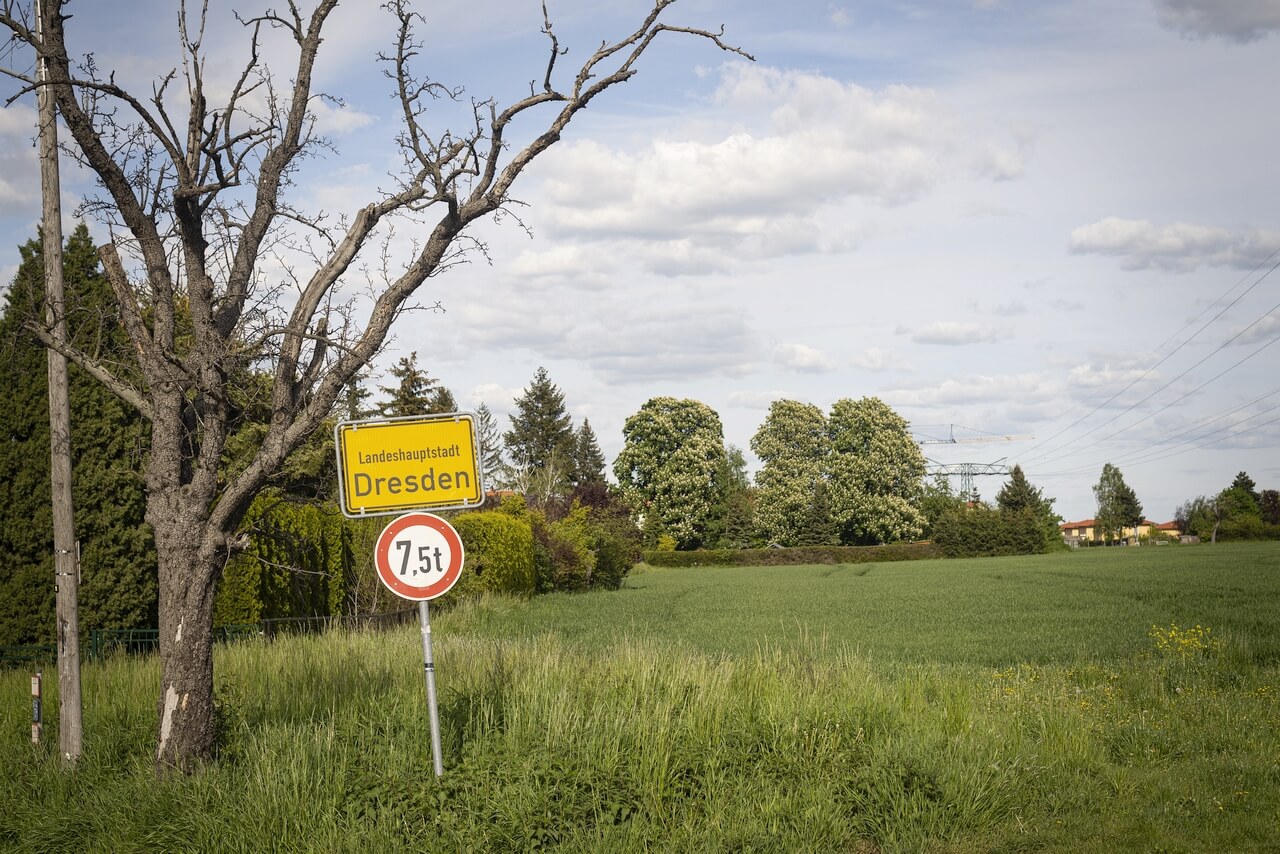
    The first decline came at the end of the Second World War; in the spring of 1945, heavy fighting raged here for two months, as a result of which 90% of the buildings were damaged and in large parts completely destroyed. The end of the war also changed the course of the border, the Neisse and Oder rivers formed the new eastern border of post-war Germany, and Guben effectively became two towns: Gubin, with its former town centre, on the east bank of the Neisse, and Guben, the predominantly industrial suburb, on the west bank. The German inhabitants had to leave the eastern part, which was assigned to Polish people, who in turn were expelled from eastern Poland, which henceforth became part of the Soviet republics of Belarus and Ukraine.

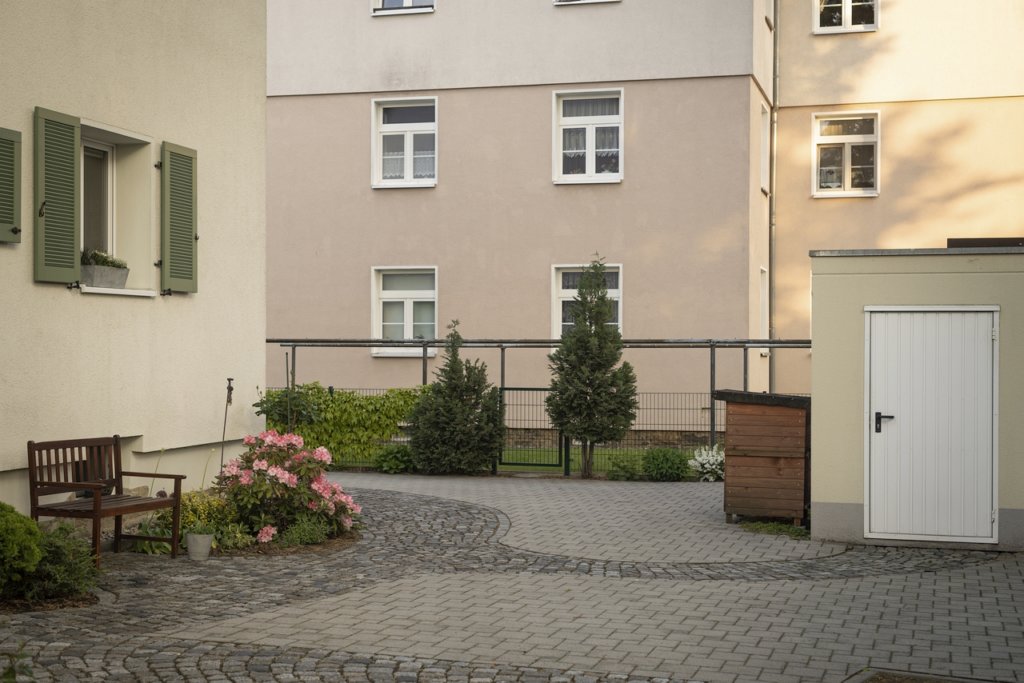
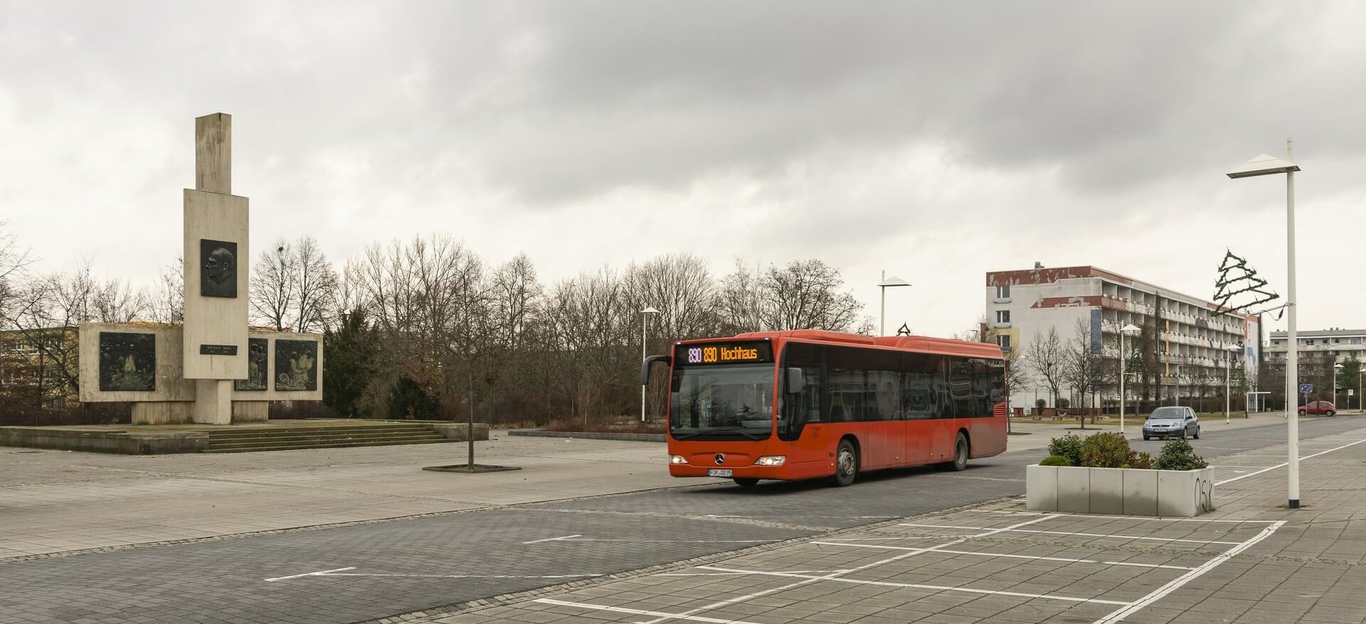
    Reconstruction began on both sides of the Neisse, and in Guben the textile industry was successfully revived under socialist auspices. At the beginning of the 1960s, the Guben chemical fibre factory was built and, with over 8,000 jobs, became the city’s largest employer until 1990. In order to meet the immense demand for labour, a large prefabricated housing area was built, as was typical of the GDR. From 1961, the town was officially named Wilhelm-Pieck-Stadt Guben, after the first and only president of the GDR who was born here.

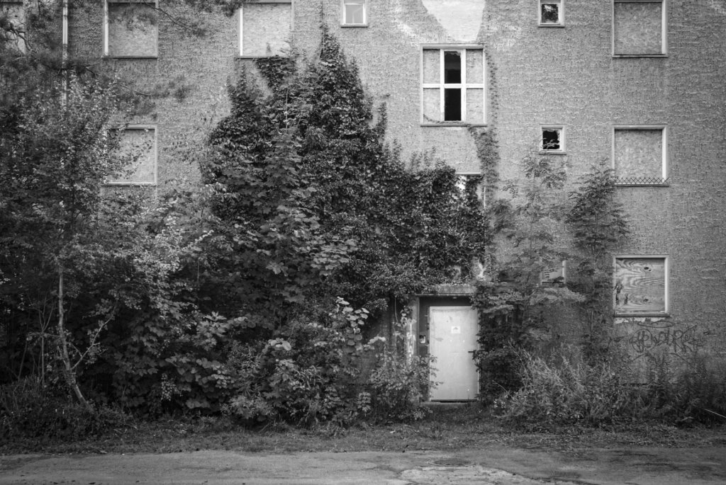
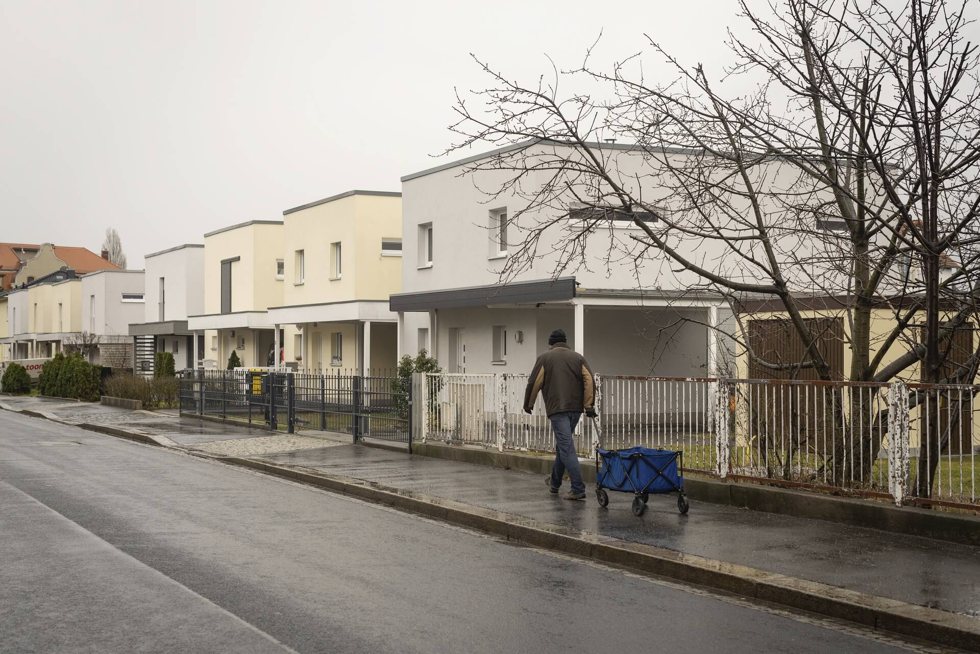
    The peaceful revolution in autumn 1989 swept away the GDR, and with the political and economic unification of Germany in 1990, the next phase of Guben’s decline began. Almost all the industrial companies were closed down because they were unable to compete. Lack of work and prospects drove the inhabitants out of their town, the number of inhabitants halved in the following 30 years from 32,000 at the end of the GDR to a good 16,000 in 2020. The average age is over 50.

    With Poland’s accession to the European Union in 2004 and to the Schengen Agreement in 2007, border controls were also abolished, and Guben and Gubin are striving for rapprochement and joint shaping of the future as the “Euro City Guben-Gubin” project. Recently, the trend towards migration was stopped. The settlement of new industrial companies was announced, important in a city whose largest private employers include the Gunther von Hagens Plastinarium, which produces anatomical specimens from human cadavers.

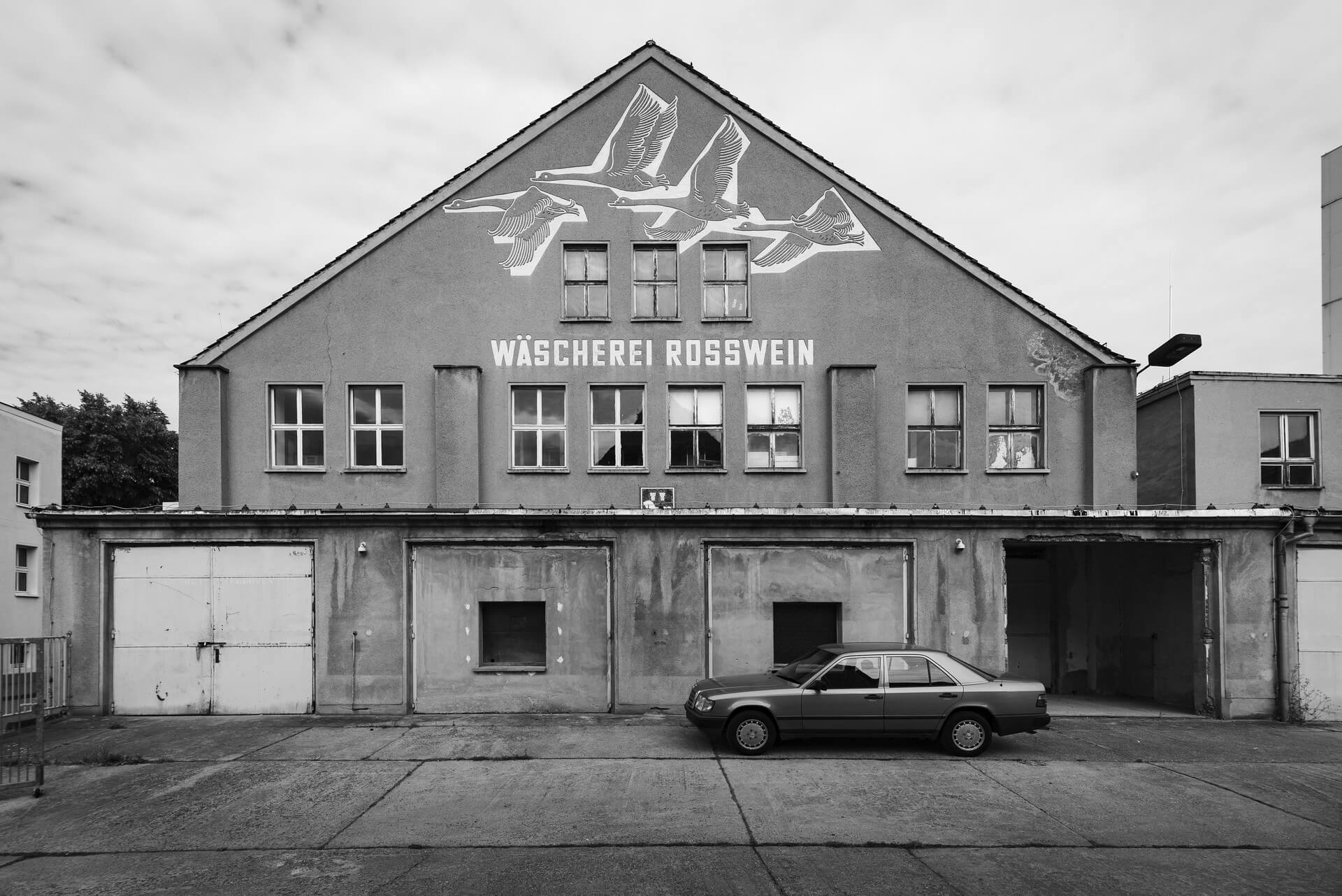
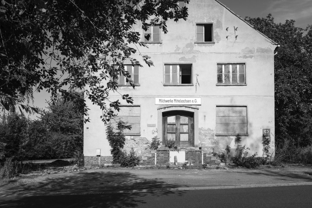
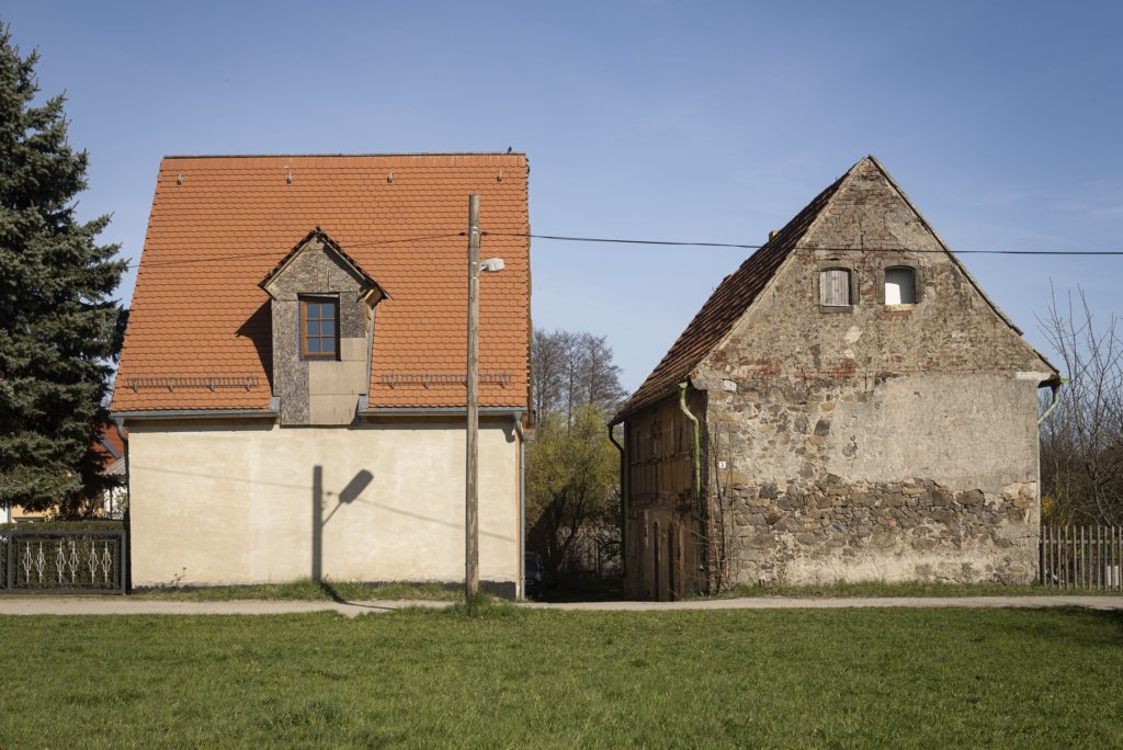
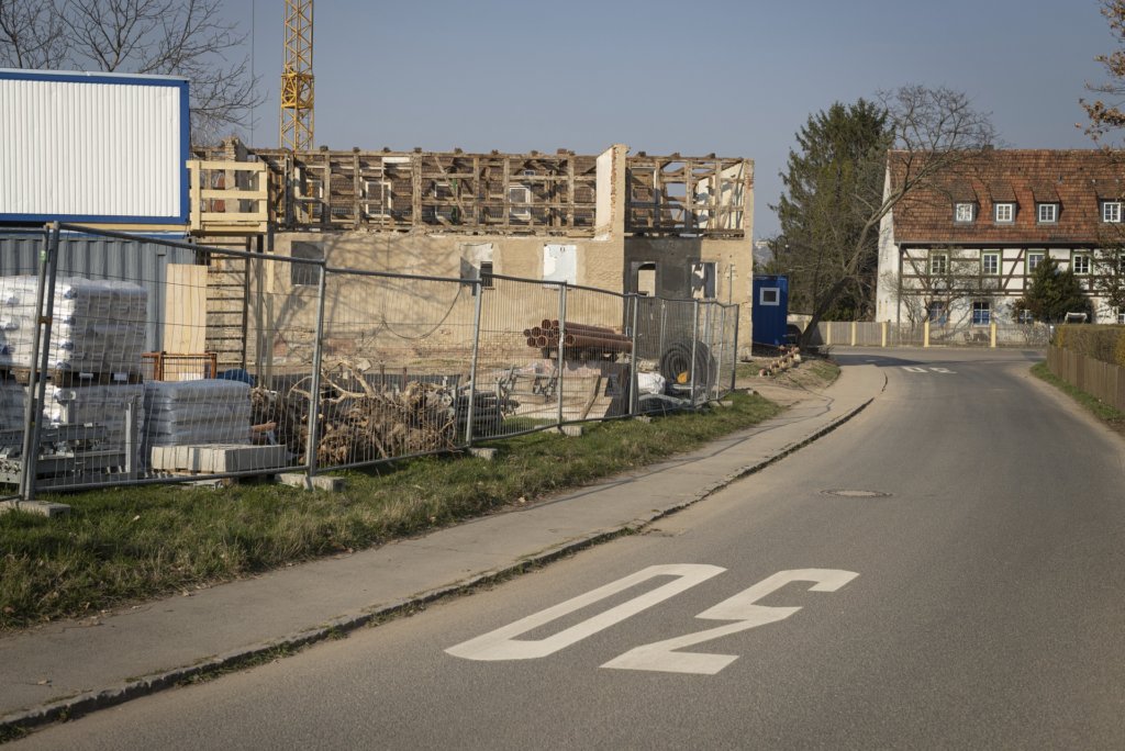
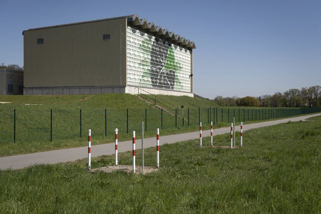
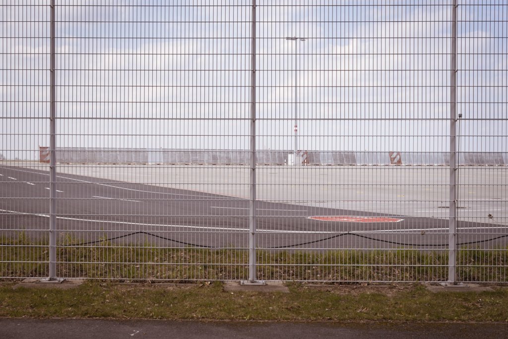
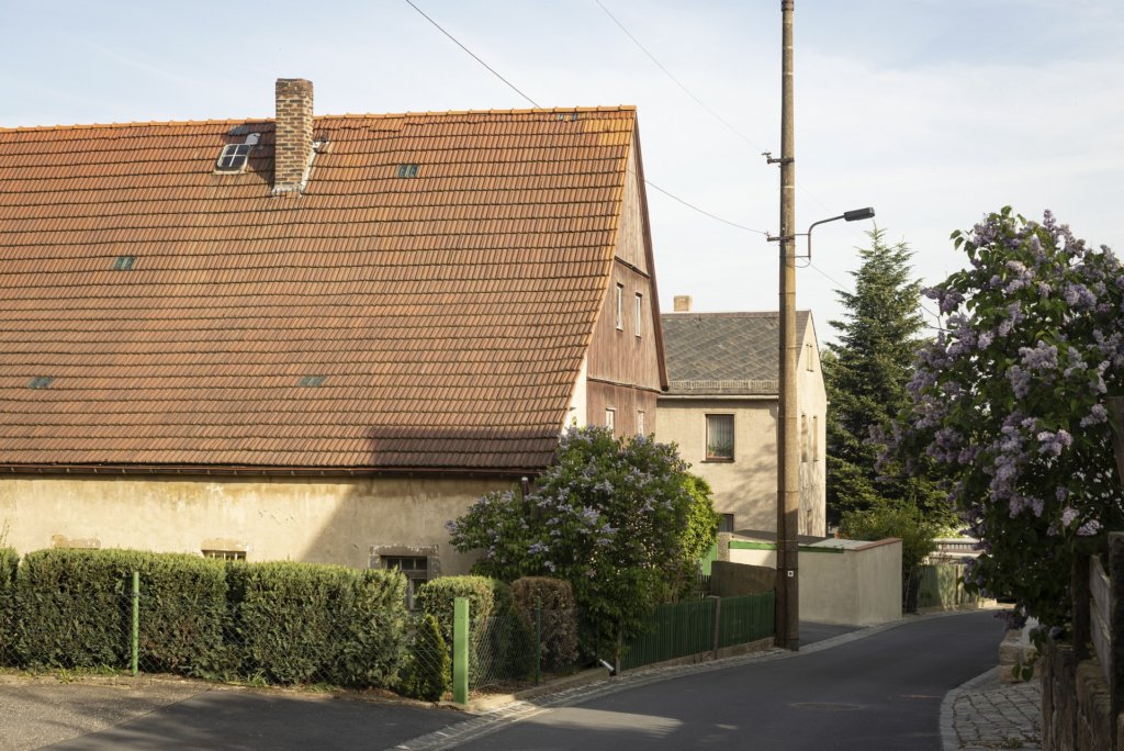
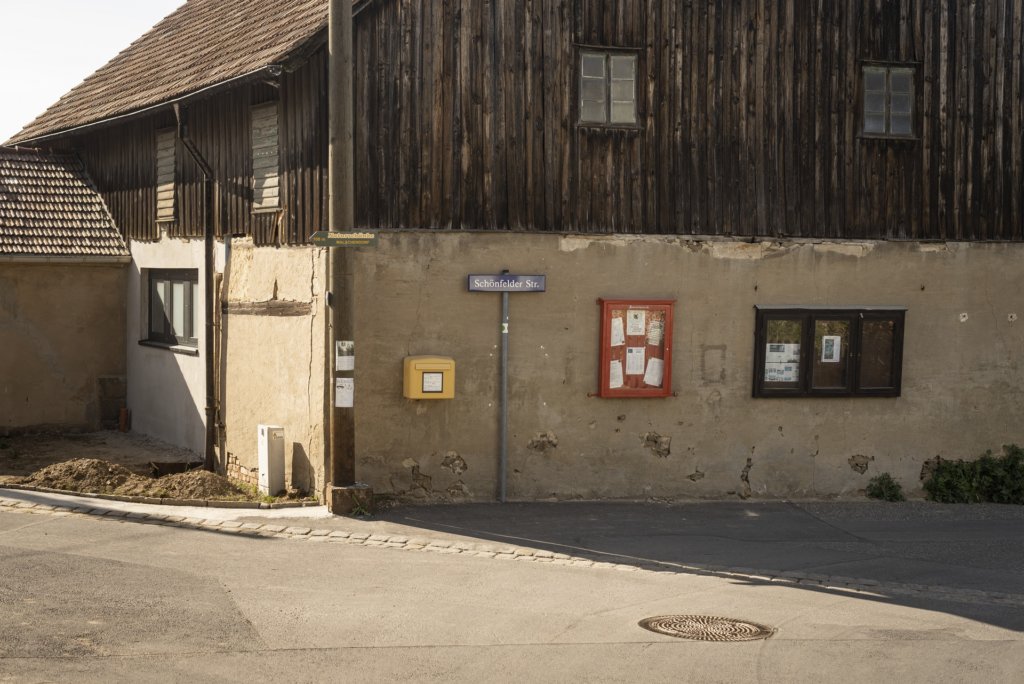
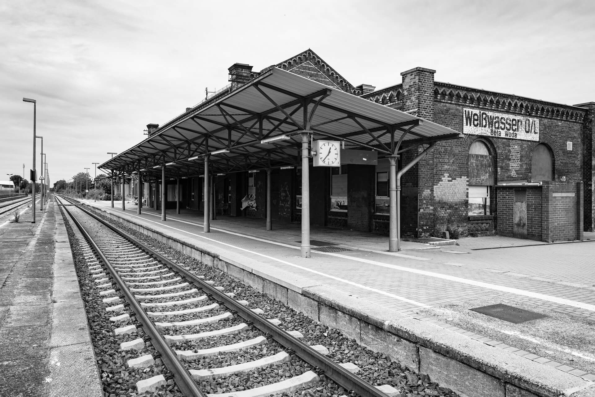
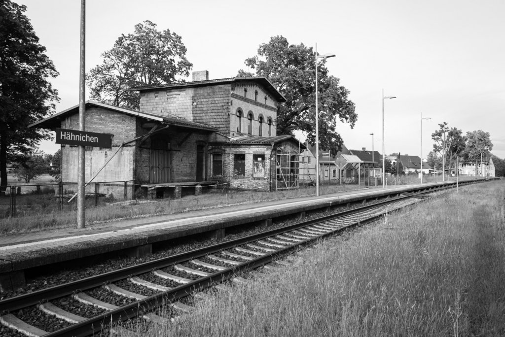
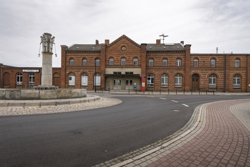
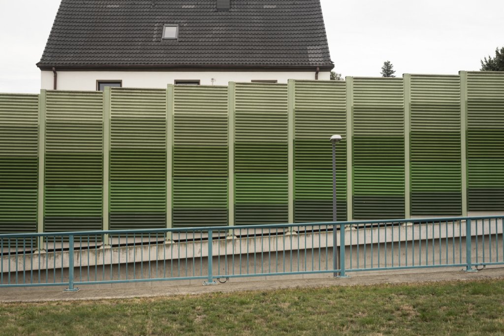
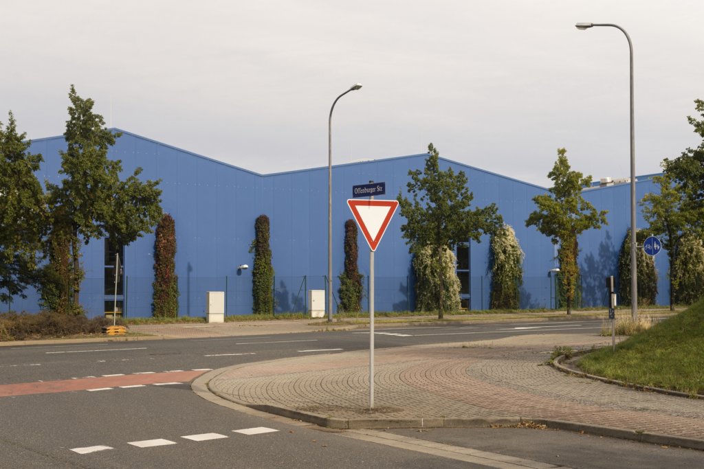
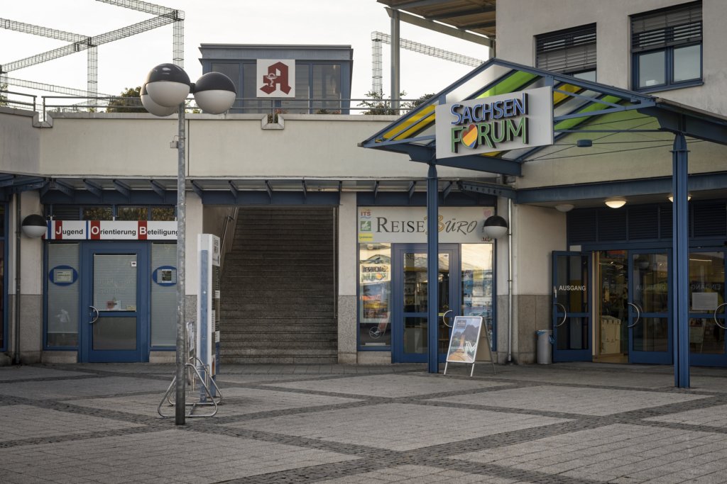
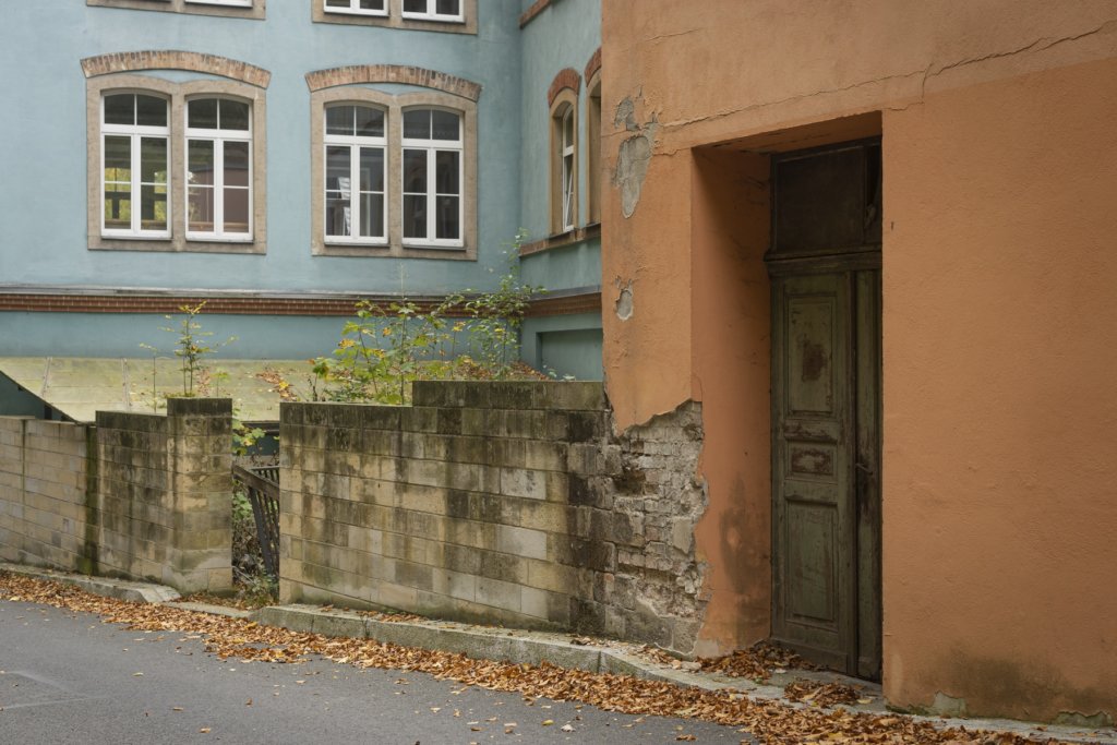
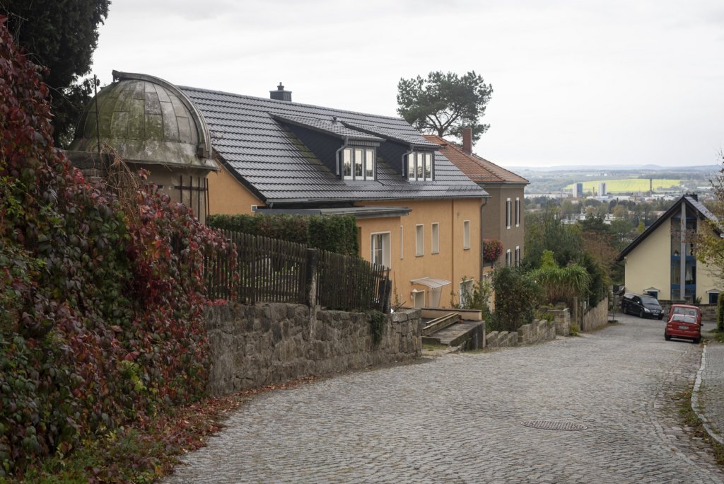
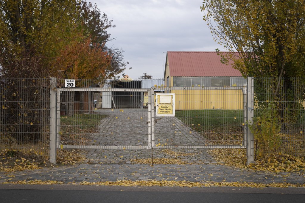
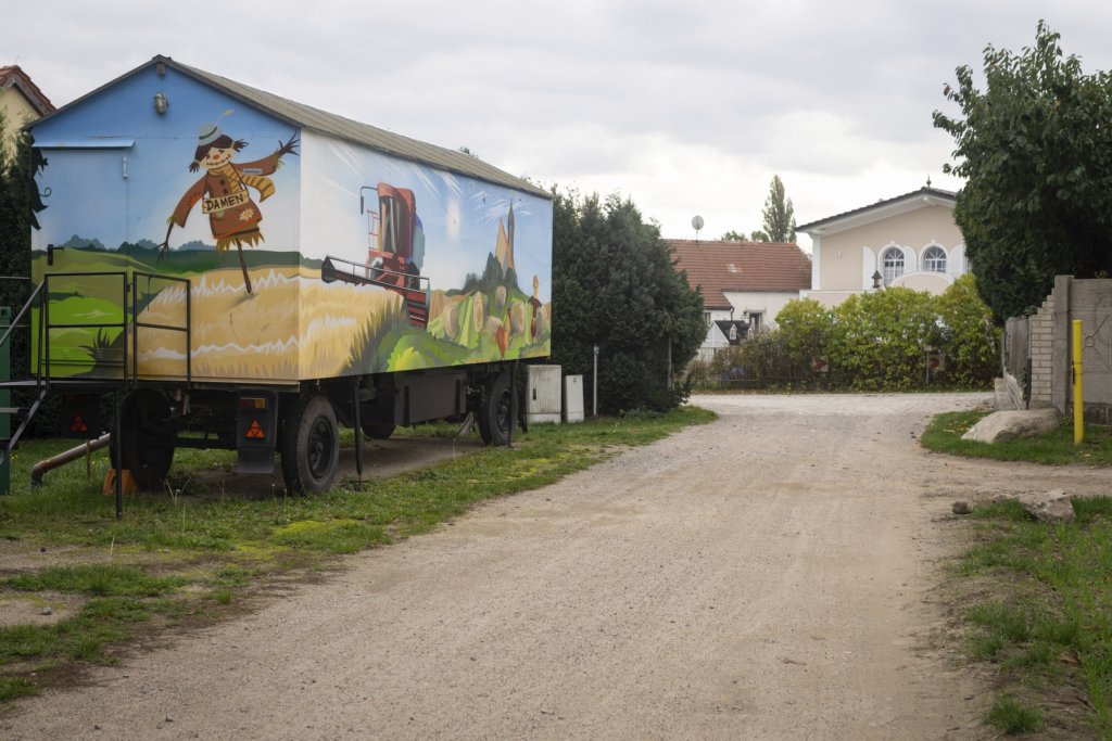
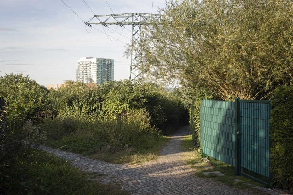
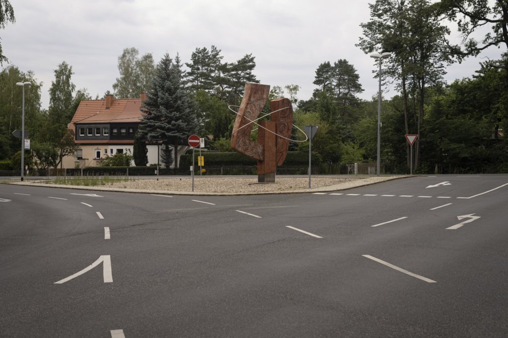
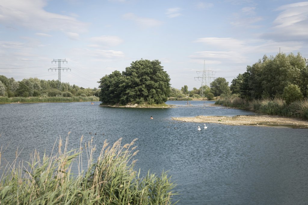
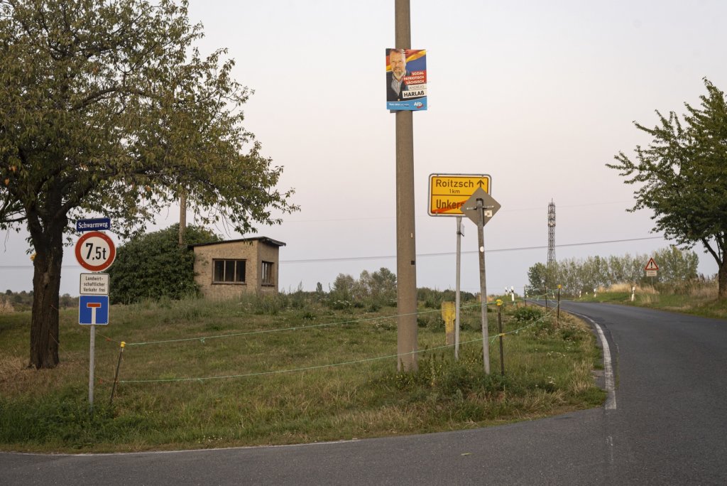
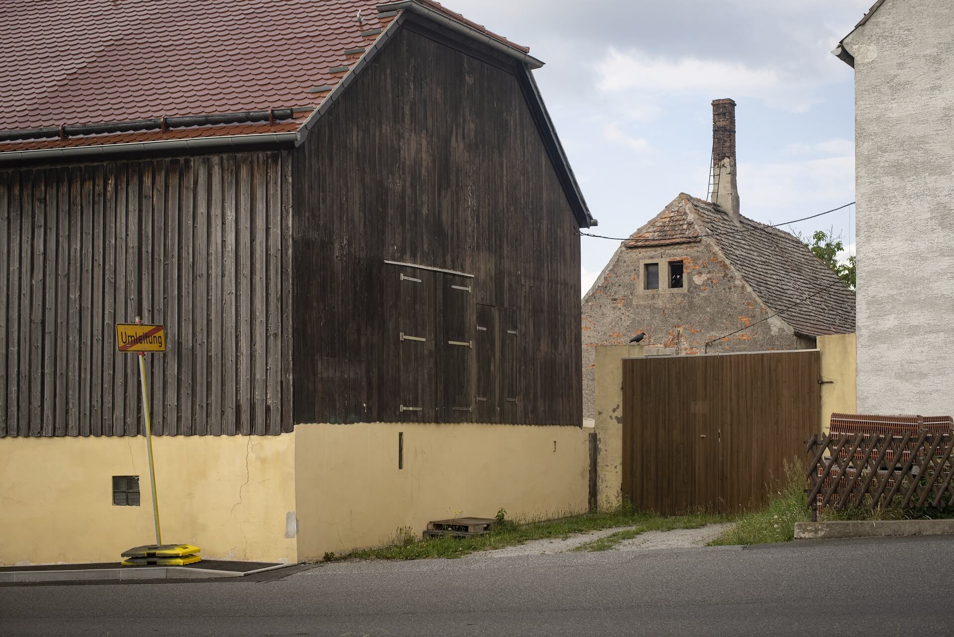
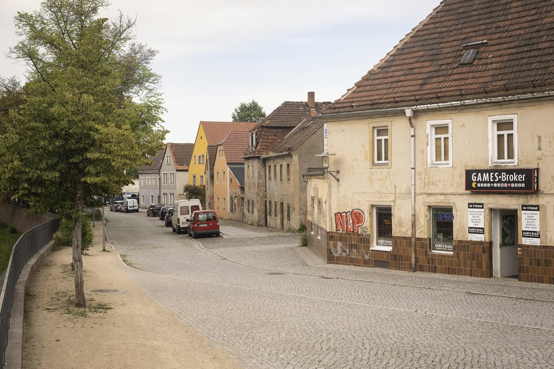
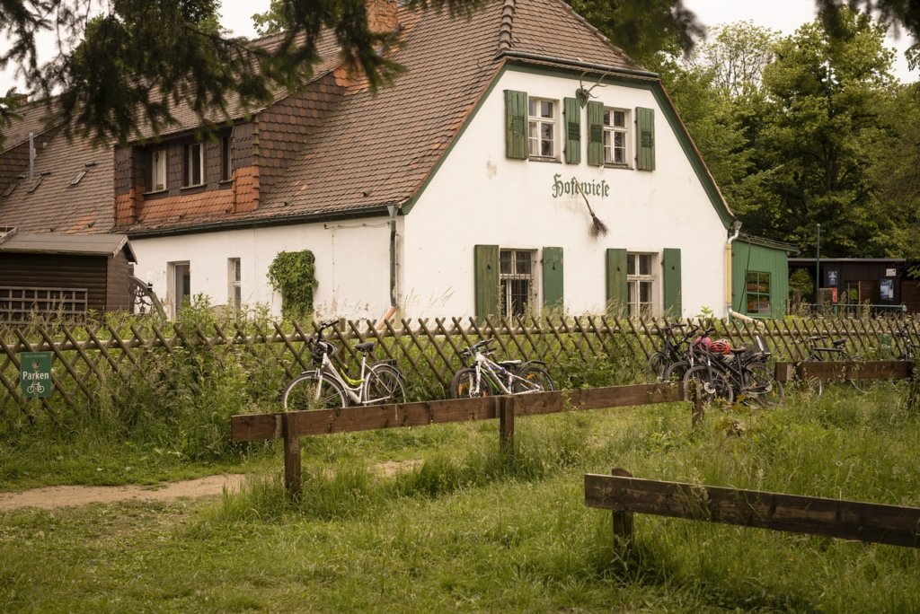
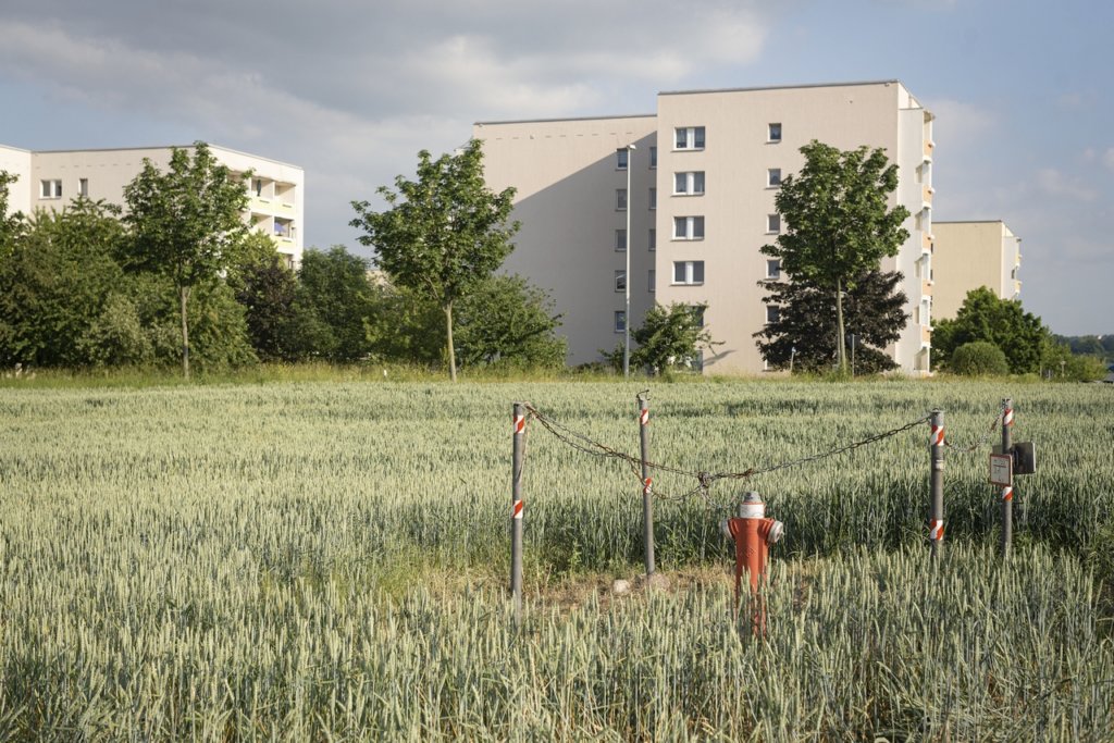
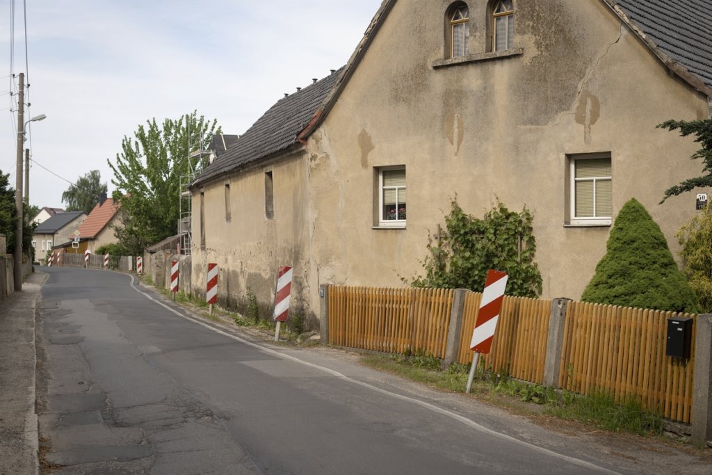
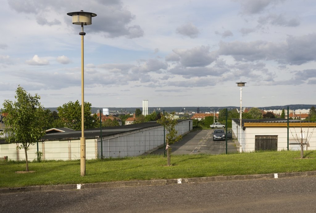
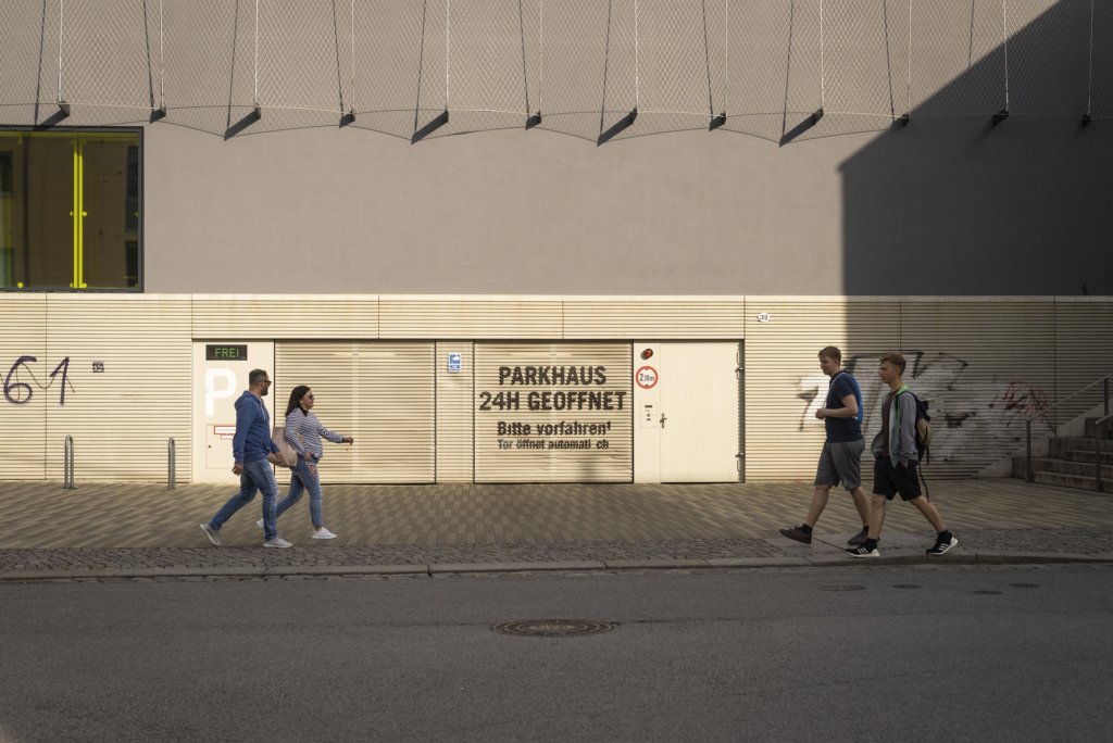
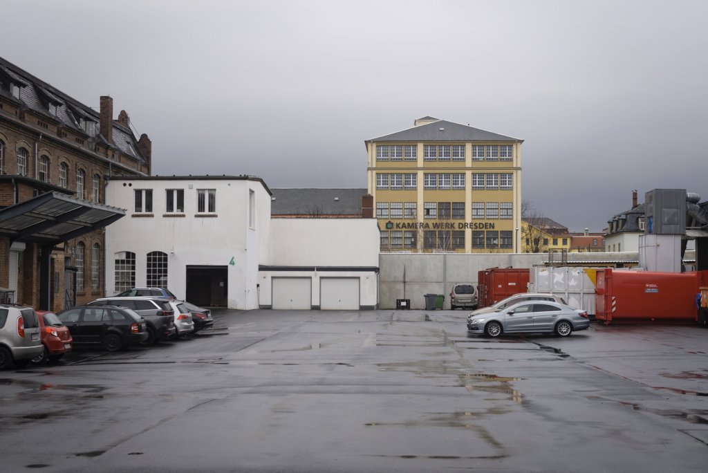
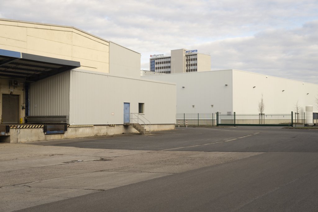
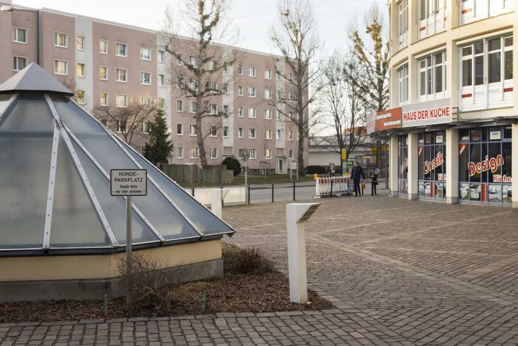
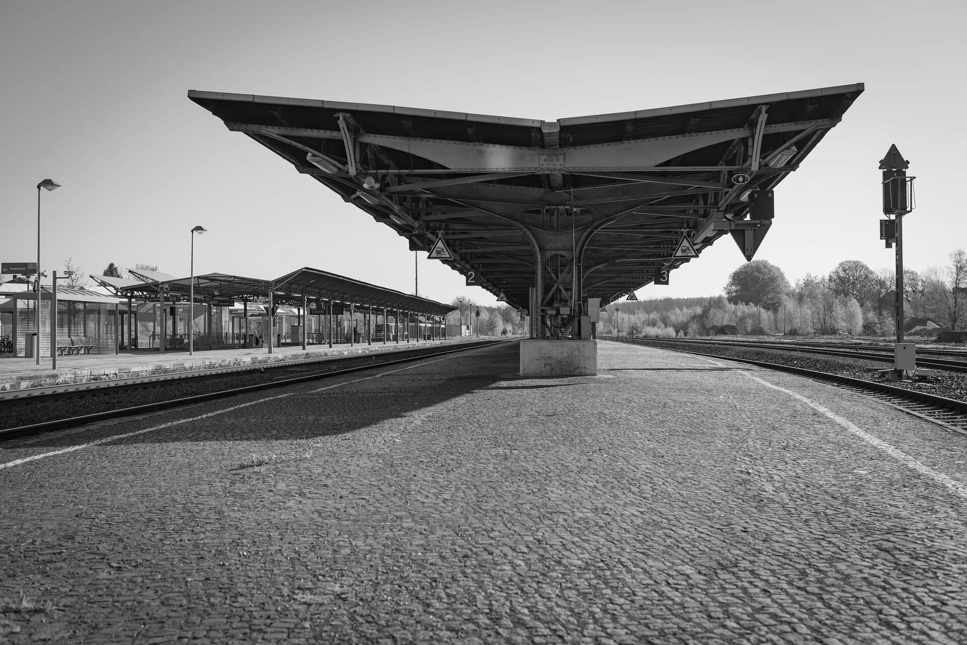
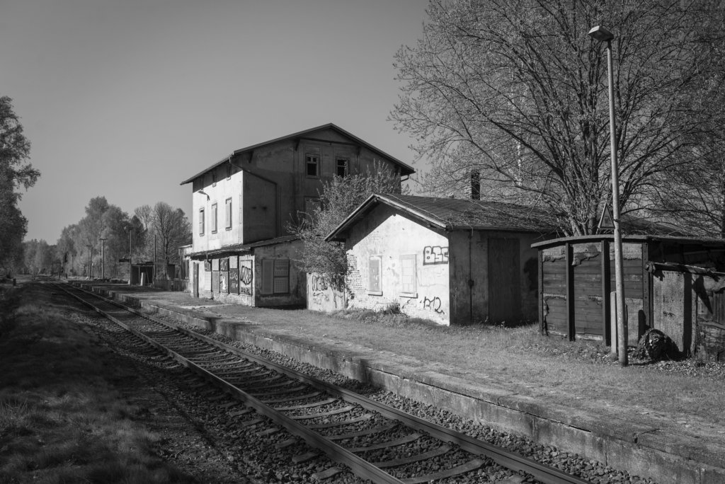
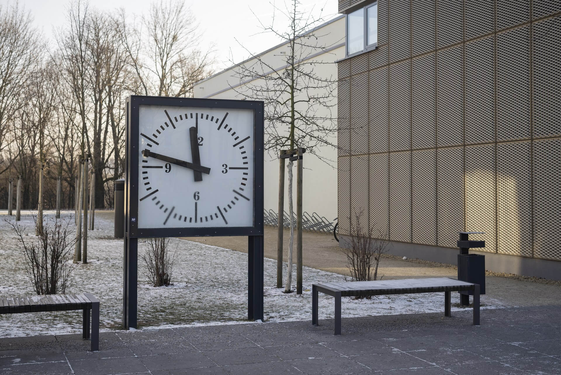
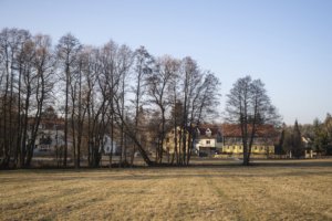
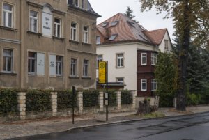
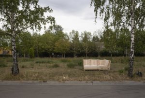
    The will to create a liveable, border-crossing small town in spite of all the difficulties is visible, yet one also encounters signs of decay everywhere.

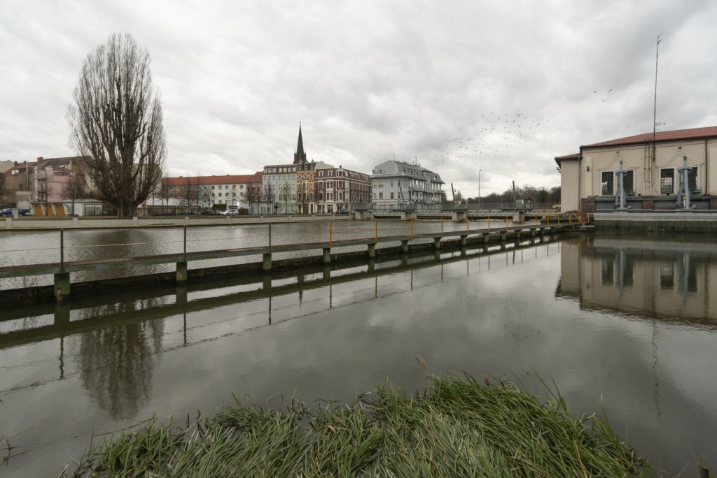
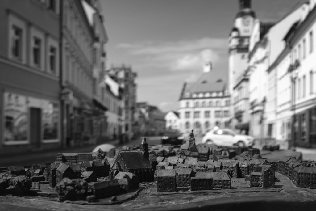
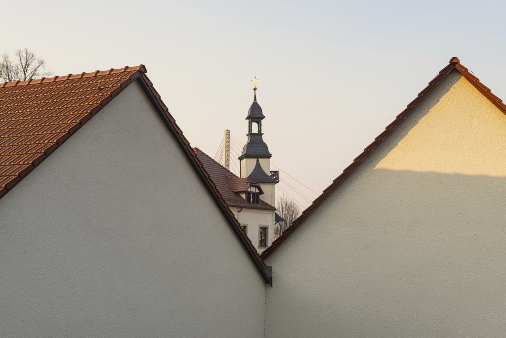
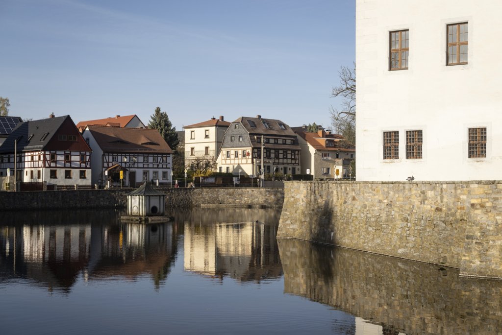
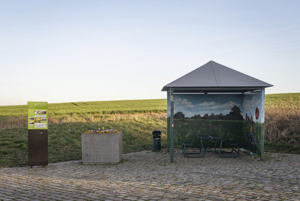
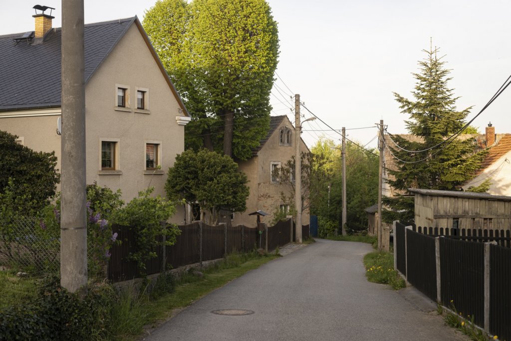
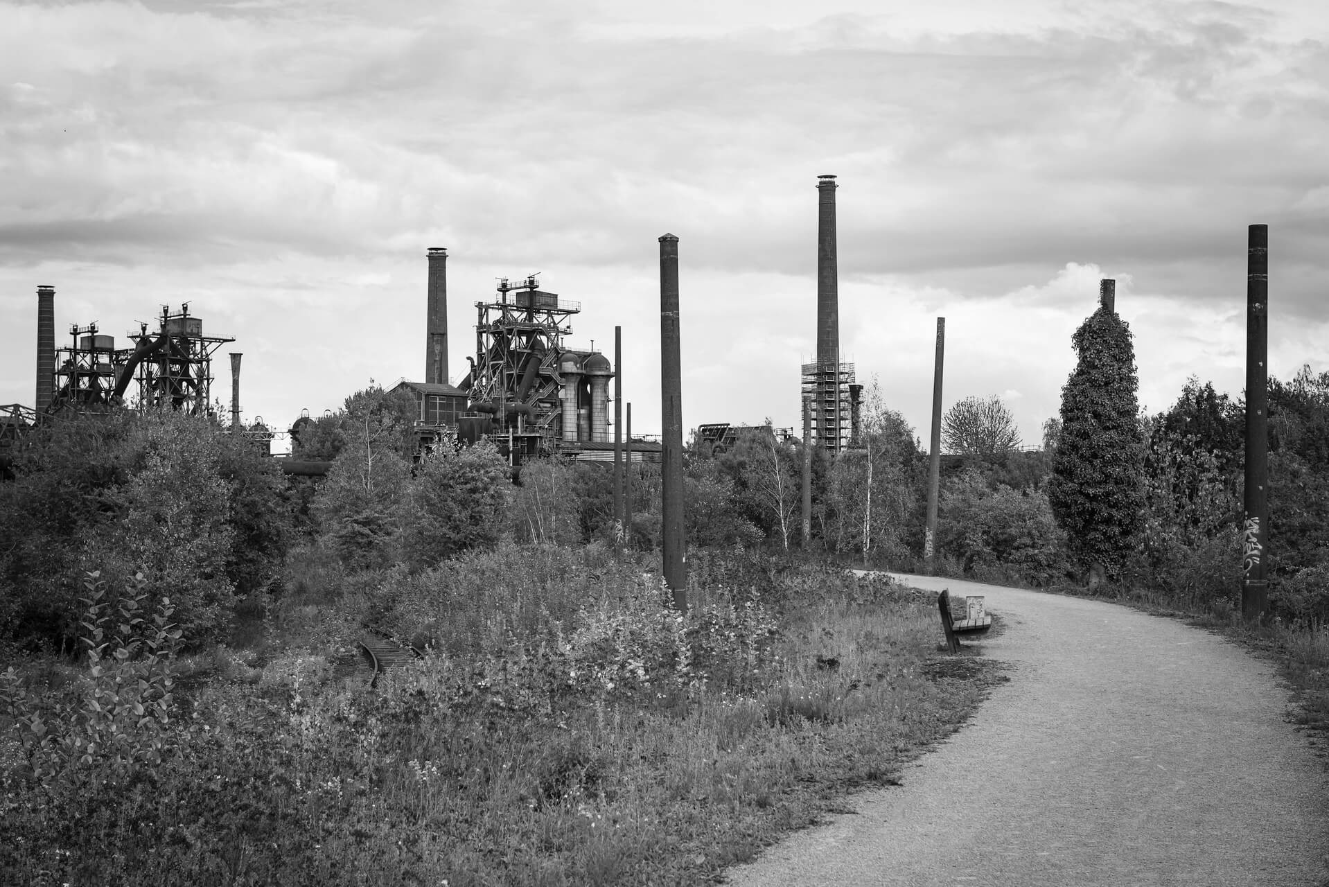
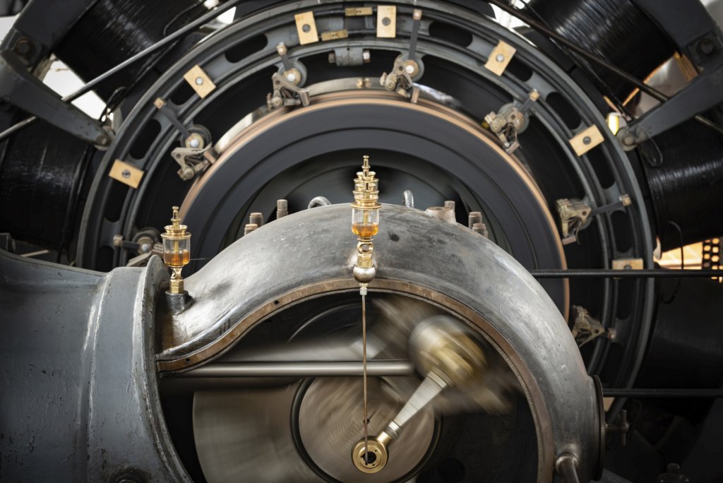
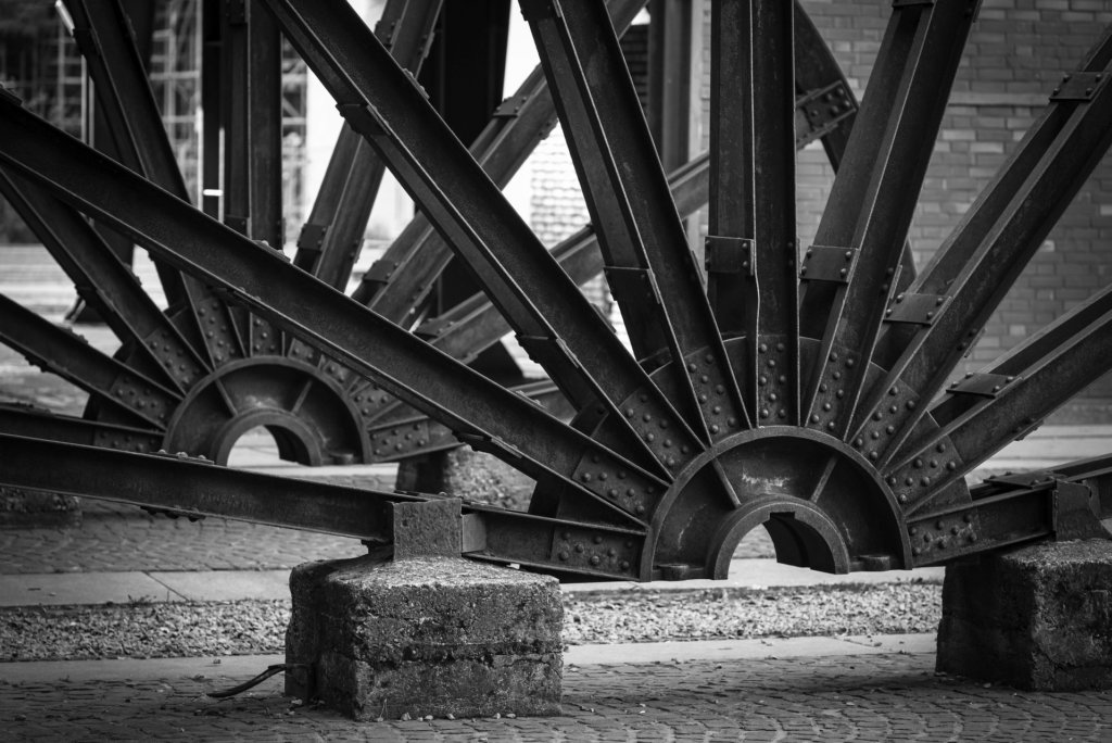
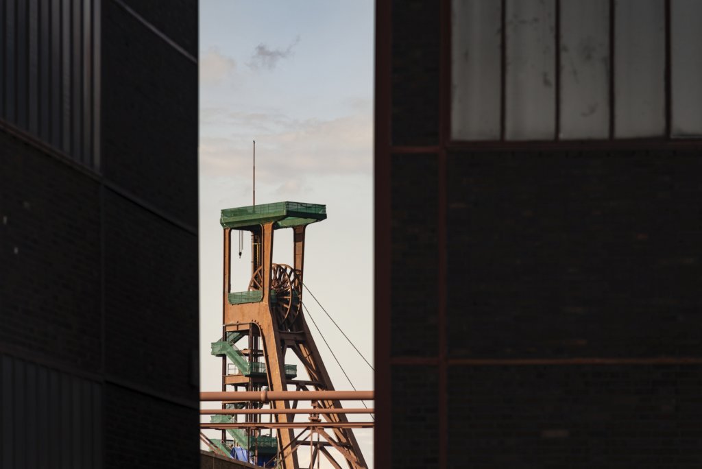
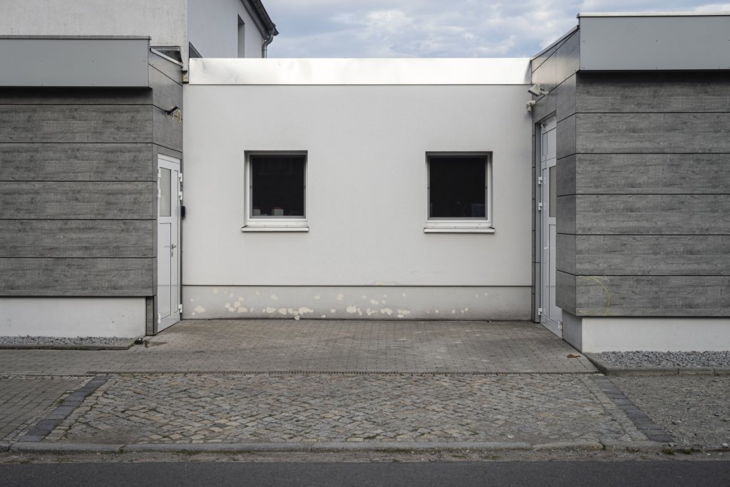
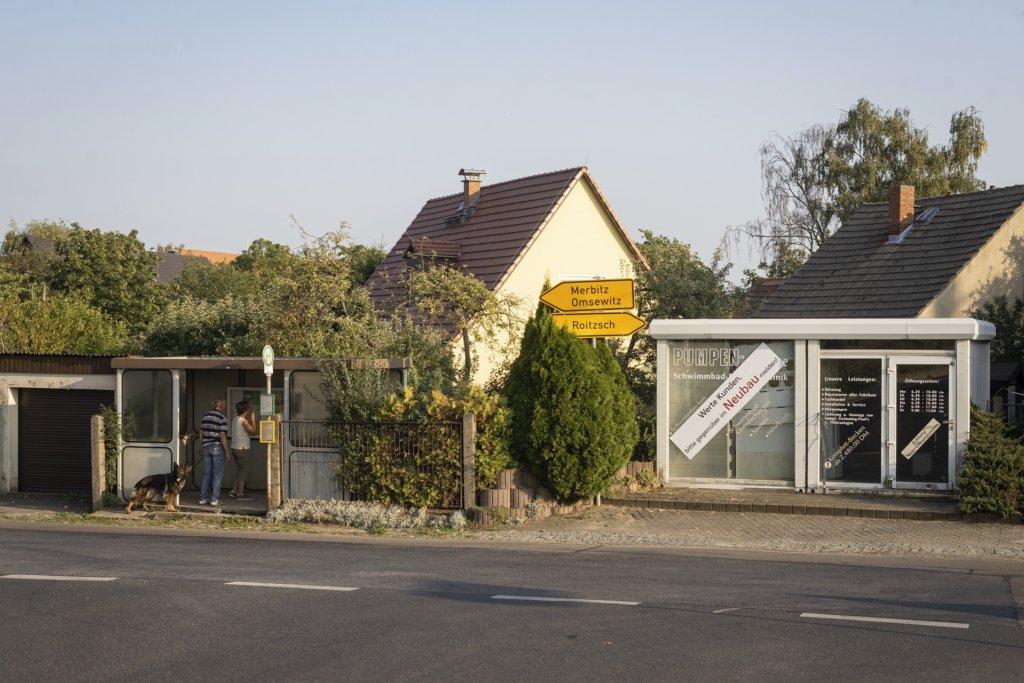
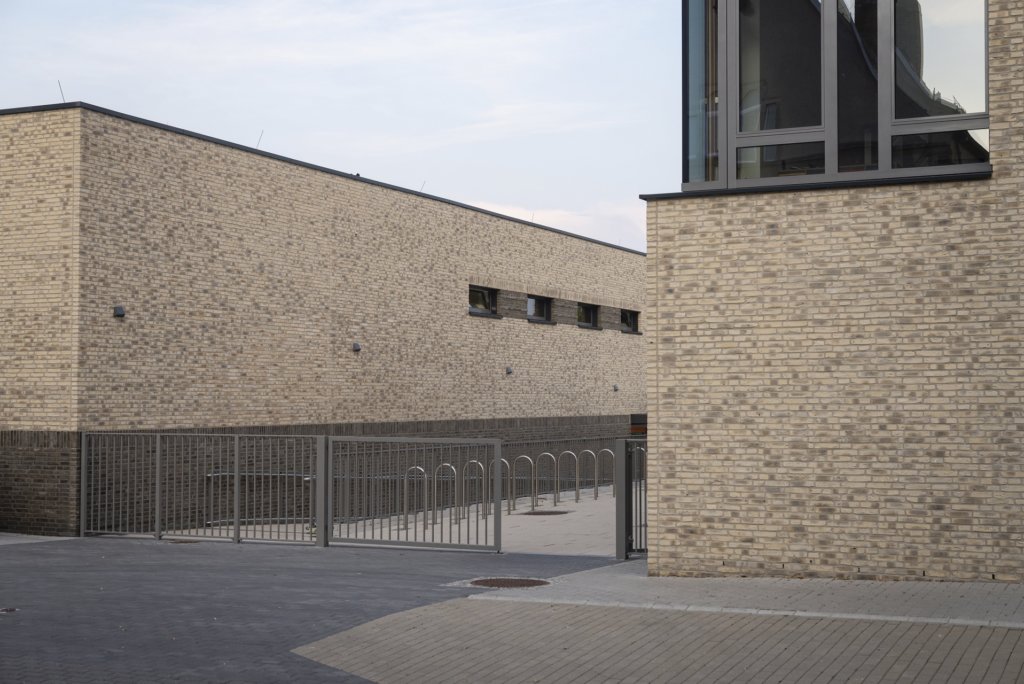
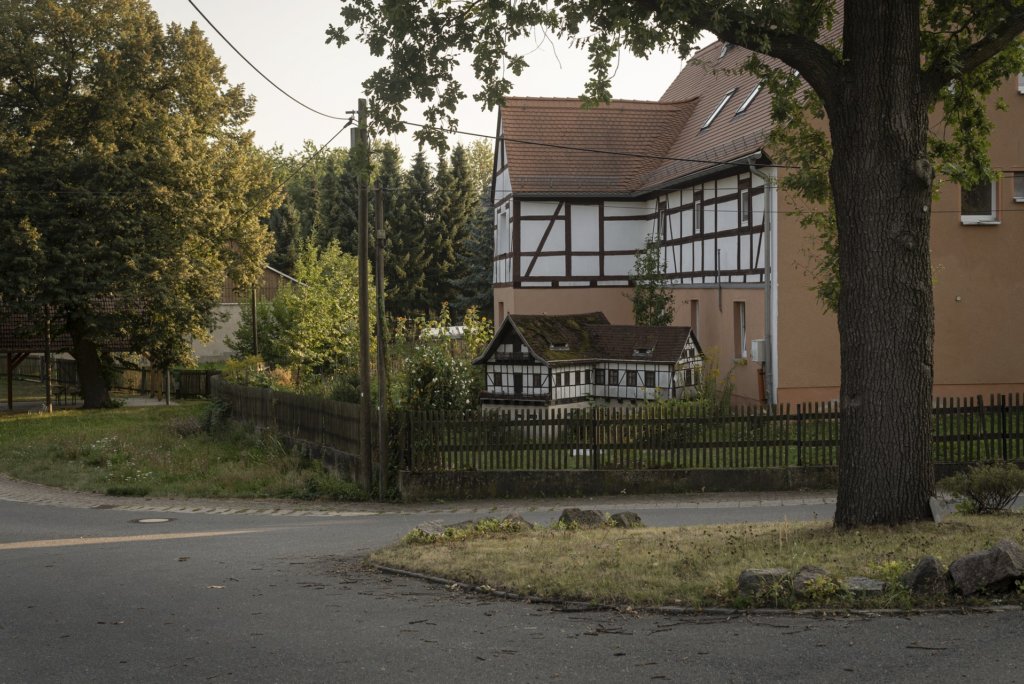
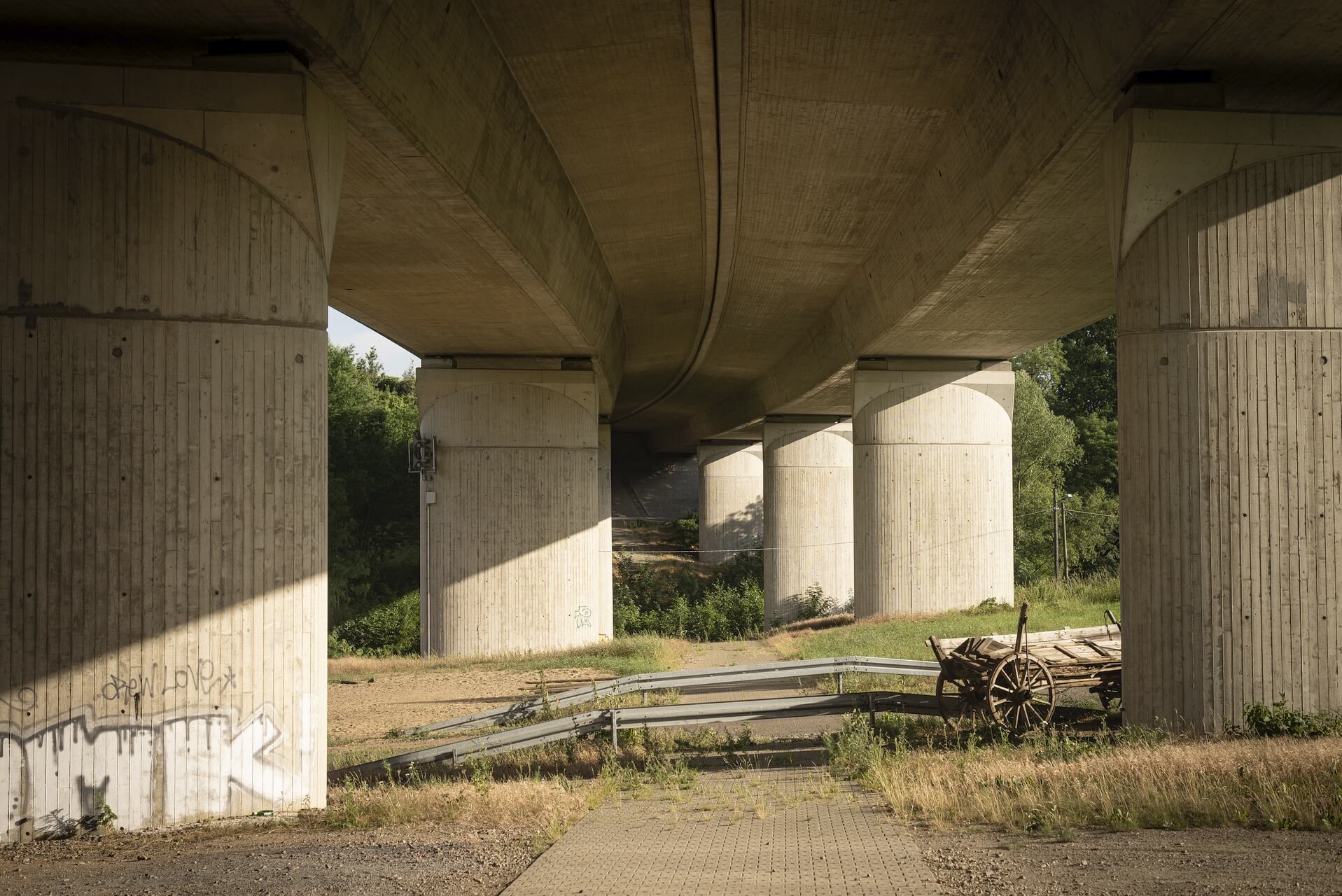
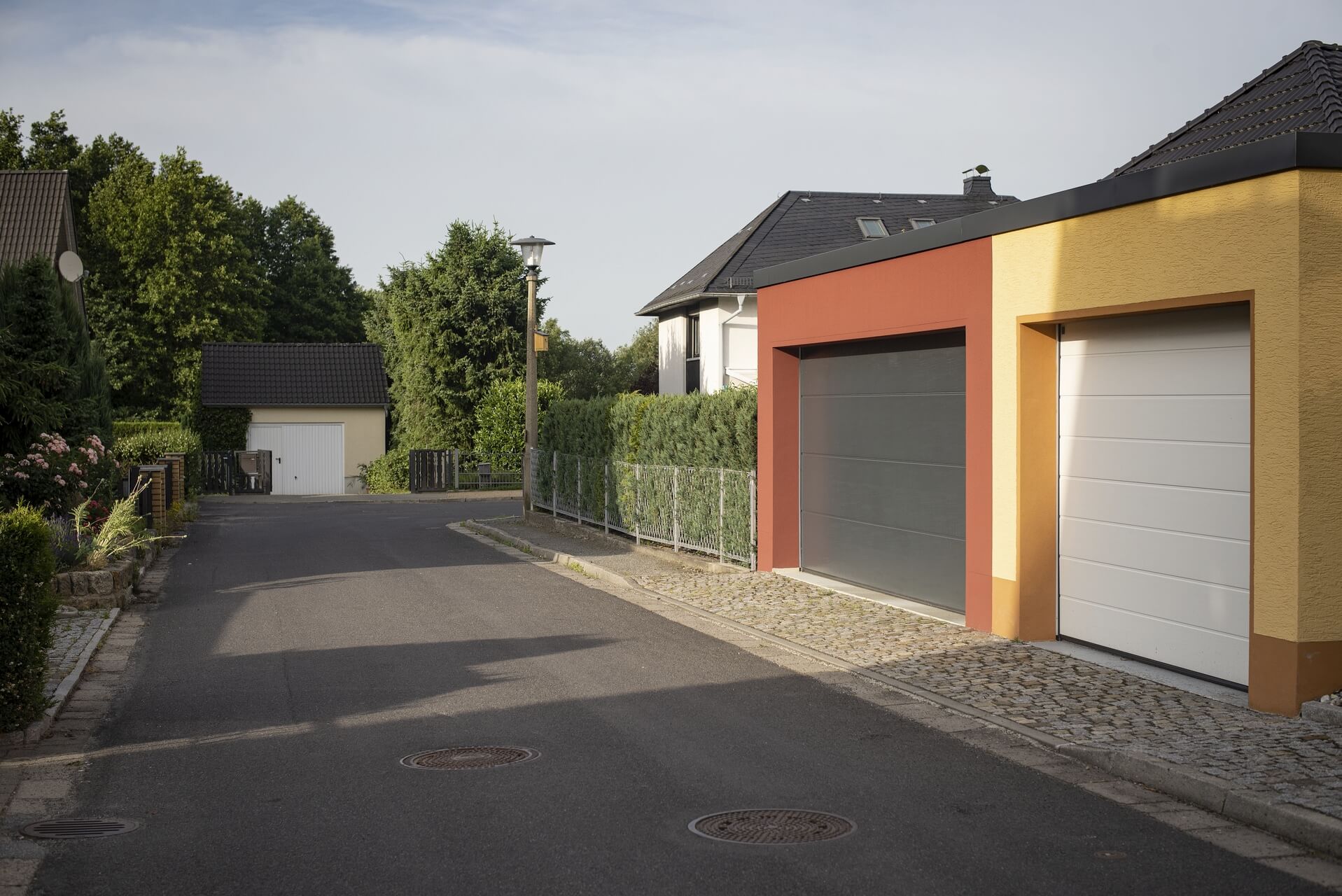
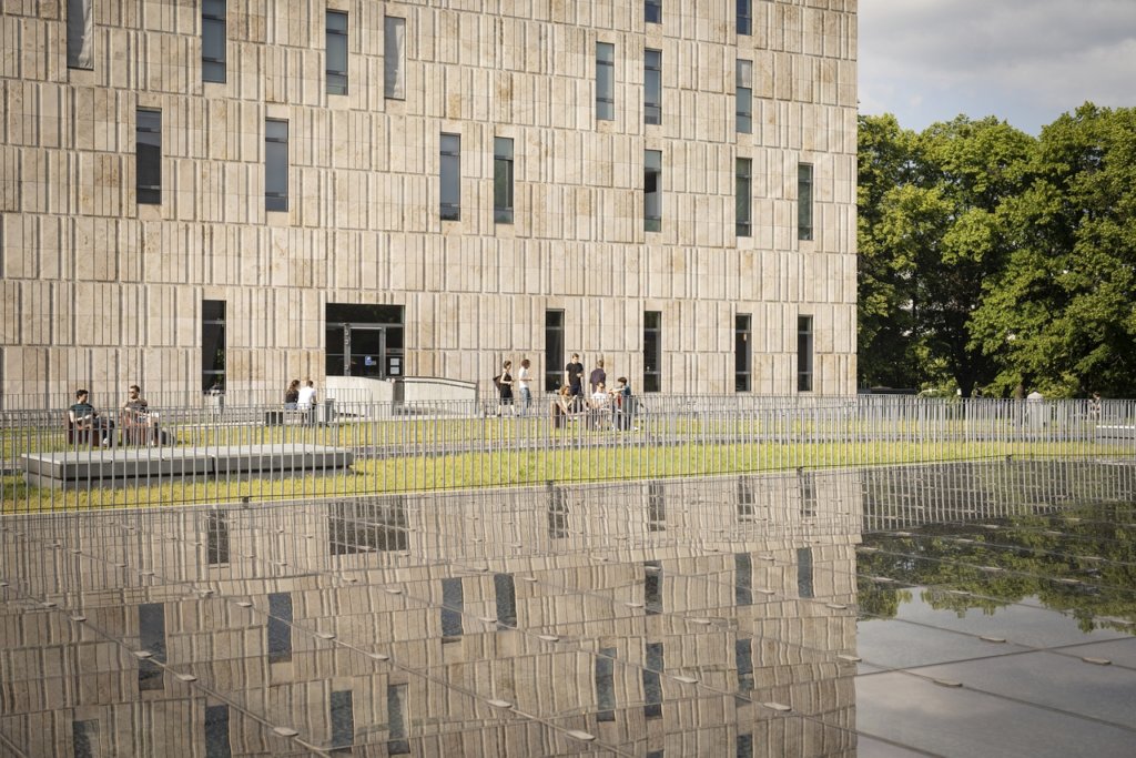
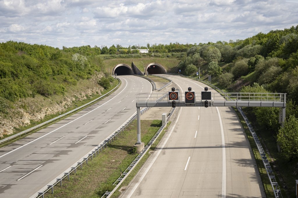
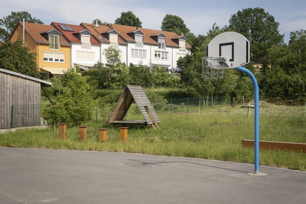
    The photo series was taken on four days around the turn of the year 2021/2022. It soberly documents the state of affairs on both sides of the border; in most cases, the attentive viewer will be able to assign the photographs to Guben or Gubin.

    Guben - Gubin
    Guben – Gubin
  • Central Saxony – Lights and Shadows

    Central Saxony – Lights and Shadows

    Central Saxony, in the sense of this small photographic field trip, is wider than the Saxon district of the same name. A region was roamed, which is bordered by the Elbe river between Dresden and Torgau in the east and between Chemnitz and Leipzig in the west. At the center of my observations were small and medium-sized towns, whose names are not unknown from signposts along the A4 and A14 motorways or as railway stations, but so far have mostly been blind spots on my visual map.

    Most of these cities and towns have in common an almost perfectly refurbished center – at least the marketplace, thanks to the money invested over the past 30 years. This condition is probably been unparalleled in the history of these places. Most of the time, the splendor that pleases the viewers eye is not a publicly displayed wealth; rather, the whitewash applied covers the problems of a region that has been struggling with deindustrialization and emigration since the early 1990s.

    Without looking for it, one comes across evidence and relics of decay, especially of older dates, in many places, but also objects whose origins lie in more recent times. To depict some facets of this contradiction was the goal of a multi-day trip through a region that was previously almost unknown to me. The results of my photographic notes are summarized in two series.

    Series 1: Wilsdruff, Rosswein, Doebeln, Waldheim, Burgstaedt, Amerika, Lunzenau, Rochlitz, Colditz, Grimma, Wurzen

    fotografische Notizen aus Sachsen, das Gebiet zwischen Dresden, Chemnitz und Leipzig

    Series 2: Eilenburg, Torgau, Belgern, Dahlen, Oschatz, Muegeln, Oschatz, Wermsdorf, Mutzschen, Leisnig, Lommatzsch

    fotografische Notizen aus Sachsen, das Gebiet zwischen Dresden, Chemnitz und Leipzig


    The following pages provide a location-based index of the photographs.

  • Dresden 50mm – early summer update

    Dresden 50mm – early summer update

    With this update, my project started in 2015: Dresden 50mm now comprises 105 districts. Recent additions include:

    • Cunnersdorf
    • Gohlis (Ober- und Niedergohlis)
    • Hosterwitz
    • Klotzsche
    • Krieschendorf
    • Malschendorf
    • Niederwartha
    • Reitzendorf
    • Schoenfeld
    • Schullwitz
    • Zaschendorf

    The goal of completing the photographic part of the work in the course of 2020 is within reach and a look at the map nourishes this hope.


    Note: Clicking on a photo below starts the associated gallery view.

    Dresden - Cunnersdorf
    Dresden – Cunnersdorf
    Dresden - Gohlis
    Dresden – Gohlis
    Dresden - Hosterwitz
    Dresden – Hosterwitz
    Dresden - Klotzsche
    Dresden – Klotzsche
    Dresden - Krieschendorf
    Dresden – Krieschendorf
    Dresden - Malschendorf
    Dresden – Malschendorf
    Dresden - Niederwartha
    Dresden – Niederwartha
    Dresden - Reitzendorf
    Dresden – Reitzendorf
    Dresden - Schoenfeld
    Dresden – Schoenfeld
    Dresden - Schullwitz
    Dresden – Schullwitz
    Dresden - Zaschendorf
    Dresden – Zaschendorf
  • Provincial train stations – a continuation

    Provincial train stations – a continuation

    More than a year ago, inspired by the impressions of a train journey from Zittau to Dresden, I followed this route by bike and camera and the connection Zittau – Goerlitz to document the condition of the stations and my observations. The results of that time can be found in the form of two photo series in the article: Suspended? Provincial railway (-stations) in Eastern Saxony

    Even then, there was the idea of continuing the project and including the stations along the Bischofswerda – Goerlitz, Goerlitz – Cottbus lines (to Schleife, the last station in Saxony) and between Hoyerswerda and Goerlitz (Uhyst and Niesky) in the observation. The project was realized during Pentecost and the results summarized in two photo series.

    Hähnichen, Bahnhof
    black and white photo series
    Weißwasser, Bahnhof
    color photo series
  • Dresden in spring 2020 – People

    Dresden in spring 2020 – People

    Buying food is one of the permitted exceptions to the requirement to stay at home, which was issued in spring 2020 in Dresden as part of the general decree to combat the spread of the SARS-CoV-2 coronavirus.

    After the photo series that has been created in the past few weeks, which documents the almost deserted squares of the city of Dresden, the following series shows portraits of people wearing protective masks during their purchese at the weekly market on Lingnerallee. Wearing masks was a mandatory order by the city of Dresden for all visitors to the market.

    Dresden, Frühjahr 2020, Corona, Pandemie, Menschen, Marktbesucher mit Maske
    Dresden 2020: visitors to the weekly market on Lingnerallee

    > more photographs

  • Dresden in spring 2020

    Dresden in spring 2020

    Since the beginning of the year, the COVID-19 virus has spread worldwide with increasing speed. To slow down the spread, areas were closed off, borders closed and social distancing practiced. Since March 21st, far-reaching restrictions have also applied in Dresden: after schools and universities, kindergartens, theaters, museums and cinemas had previously been closed, the citizens of the city are now only asked to use their home environment in exceptional cases, e.g. for grocery shopping and doctor visits or for the way to work.

    Especially in the center of Dresden it is almost deserted, because of course, apart from the inhabitants, the otherwise numerous tourists and visitors to the cultural institutions are missing here. The orphaned places have a peculiar charm, the sight is too unusual, at the same time, despite the spring-like weather, the anxiety that the lack of people causes is palpable.


    -> more photographs

  • Dresden 50mm – Advent Update

    Dresden 50mm – Advent Update

    In the near-gone autumn, my project:  Dresden 50mm, started in 2015, got a sequel. With the total of 85 districts now in existence, the two-thirds limit has been exceeded. The photographs were taken in nine urban districts:

    • Altfranken
    • Gittersee
    • Gorbitz
    • Helfenberg mit Rockau und Eichbusch
    • Innere Altstadt
    • Niederpoyritz
    • Omsewitz
    • Wilschdorf
    • Woelfnitz

    All previous photo series have been published on the project page .

    Note: Clicking on a photo starts the related gallery view.

    Dresden - Altfranken
    Dresden – Altfranken
    Dresden - Gittersee
    Dresden – Gittersee
    Dresden - Gorbitz
    Dresden – Gorbitz
    Dresden - Helfenberg
    Dresden – Helfenberg
    Dresden - Innere Altstadt
    Dresden – Innere Altstadt
    Dresden - Niederpoyritz
    Dresden – Niederpoyritz
    Dresden - Omsewitz
    Dresden – Omsewitz
    Dresden - Wilschdorf
    Dresden – Wilschdorf
    Dresden - Wölfnitz
    Dresden – Woelfnitz


  • Flying visit in the “Pott”

    Flying visit in the “Pott”

    About 1000 kilometers lie between the Upper Silesian and the Rhine-Westphalian industrial area. In the past few years, I have covered the 500km in eastern direction several times to realize the photo project Górny Slask. In 2019, I headed west to visit an industrial region with a similar history for the first time.

    Both regions were and are dominated by the mining industry, whose decline and the associated transformation processes in the Ruhr area began at the end of the 1950s, while in Upper Silesia the change began with the fall of the Iron Curtain and with the accession of Poland to the European Union drive accelerated.

    The last active colliery in the Ruhr area was closed at the end of 2018. Poland holds the leading position in Europe in terms of coal, although production is on the decline, but still represents the backbone of Polish heavy industry.

    The change in the Ruhr area is far advanced, dumps are greened, abandoned factories and brownfields became landscaped parks. However, awareness of the cultural value of the remains and evidences of industrial history also grew in the early 1970s. Exemplary here  Zollverein colliery and coking plant, today recognized UNESCO World Heritage Site, the Landscape Park Duisburg-Nord and the colliery Zollern, Germany’s first industrial monument whose demolition was prevented in 1969.

    Primarily in these places, the photo series were taken:
    Note: Clicking on a photo starts the corresponding gallery view.

    Ruhrgebiet, Industriekultur, Zeche Zollern
    machines, steel and rust
    Ruhrgebiet, Industriekultur, Zeche Zollverein, Detail
    monochrome
    Ruhrgebiet, Industriekultur, Zeche Zollverein
    colours of the ‘Pott’
    Ruhrgebiet, Industriekultur, Kokerei Zollverein
    film photographs

    Note: Clicking on a photo starts the corresponding gallery view.

  • Dresden 50mm – late summer growth

    Dresden 50mm – late summer growth

    In the past few weeks, too, I let myself be thrown all over Dresden, to continue with my project started in 2015: Dresden 50mm. Photographs were taken in nine urban districts:

    • Leuben
    • Merbitz
    • Meusslitz
    • Podemus
    • Rochwitz
    • Roitzsch
    • Rossendorf
    • Sporbitz
    • Unkersdorf

    All previously created photo series are shown on the project page.

    Dresden - Leuben
    Dresden – Leuben
    Dresden - Merbitz
    Dresden – Merbitz
    Dresden - Meußlitz
    Dresden – Meußlitz
    Dresden - Podemus
    Dresden – Podemus
    Dresden - Rochwitz
    Dresden – Rochwitz
    Dresden - Roitzsch
    Dresden – Roitzsch
    Dresden - Rossendorf
    Dresden – Rossendorf
    Dresden - Sporbitz
    Dresden – Sporbitz
    Dresden - Unkersdorf
    Dresden – Unkersdorf


  • Dresden 50mm – Summer Update

    Dresden 50mm – Summer Update

    The most recent addition to the Dresden 50mm project launched in 2015 comprises five neighbourhoods:

    • Pennrich
    • Plauen
    • Steinbach
    • Weixdorf
    • Zöllmen

    The resulting photo series are published on the project page.

    Dresden - Pennrich
    Dresden – Pennrich
    Dresden - Plauen
    Dresden – Plauen
    Dresden - Steinbach
    Dresden – Steinbach
    Dresden - Weixdorf
    Dresden – Weixdorf
    Dresden - Zöllmen
    Dresden – Zoellmen


  • Eisenhuettenstadt – A photographic tour …

    Eisenhuettenstadt – A photographic tour …


    … in a town of real existing socialism 30 years after its demise

    ‘Hütte’ (acronym for ironworks), as the town on the west bank of the Oder is affectionately known by its inhabitants, was built at the beginning of the 50s of the last century as a socialist planned city and is today the largest surface monument in Germany.

    The construction of Eisenhüttenstadt goes back to a decision of the 3rd Party Congress of the SED in 1950, which provided for the construction of an ironworks and an associated socialist residential town near Fürstenberg on the Oder river. In the same year, the ground was broken for the factory and the city.

    Built in the style of socialist classicism, it was initially part of Fürstenberg, but was dissolved in 1953. The planned designation after Karl Marx was rejected after the death Stalin in its favor. Until 1961 the town was officially called Stalinstadt, in the vernacular also ‘Schrottgorod’. In the course of de-Stalinization, it was renamed Eisenhüttenstadt.

    Eisenhüttenstadt


    Built in the style of socialist classicism, it was initially part of Fürstenberg, but was dissolved in 1953. The planned designation after Karl Marx was rejected after the death Stalin in its favor. Until 1961 the town was officially called Stalinstadt, in the vernacular also ‘Schrottgorod’. In the course of de-Stalinization, it was renamed Eisenhüttenstadt.

    The population increased steadily until the end of the 80s and reached 53,000 inhabitants. The steelworks employed up to 16,000 people. The political end of the GDR was followed by the economic decline of the East German Steelworks, which was no match for Western competition. The threatening end of the work would probably have meant the end of the city. Therefore, it was a political decision to subsidize the privatization with, among other things, EU funds. Today, the plant belongs to the ArcelorMittal Group and still employs 2,500 people.

    The shrinkage of the city, which began in 1990 as a continuous process, was only slightly dampened. By 2018, Eisenhüttenstadt has lost a good half of its population.

    The visit to the city, which resembles a journey through time, conveys a peculiar mood: streets, squares and many buildings appear oversized, measured by the current conditions. Buildings from recent times are missing almost completely, because there is simply no need for it. The city seems strangely empty and inanimate – right in the center, no wonder, if half of the original inhabitants are missing.

    Eisenhüttenstadt

    The renovation in the urban core area has made great progress, so that individual buildings with uncertain future become particularly obvious. Suddenly you also get into areas of the city, which are characterized by vacancy and demolition. Hard to say what future the city is imminent, beyond which as a monument to socialist urban planning and architecture.


    Eisenhüttenstadt

    >>> photo series Eisenhüttenstadt

  • Dresden 50mm – First half completed

    Dresden 50mm – First half completed

    Recently my project Dresden 50mm celebrated its first half finish. With the current update now 62 districts are visited, while 59 divisions of Dresden are still waiting to be inspected. Following the random principle, the patchwork carpet of the city map will further discolour in the following months until the full white and gray of the card face the colors of the photo series.

    Dresden: besuchte Stadtteile
    Dresden: visited districts (white/gray)

    The 10 new arrivals include the neighborhoods:

    • Albertpark
    • Dobritz
    • Dresdner Heide
    • Junge Heide / Heidefriedhof
    • Kleinpestitz
    • Langebrueck
    • Nausslitz
    • Raecknitz
    • Rossthal
    • Schoenborn
    Dresden - Albertpark
    Dresden – Albertpark
    Dresden - Dobritz
    Dresden – Dobritz
    Dresden - Dresdner Heide
    Dresden – Dresdner Heide
    Dresden - Junge Heide
    Dresden – Junge Heide
    Dresden - Kleinpestitz
    Dresden – Kleinpestitz
    Dresden - Langebrück
    Dresden – Langebrueck
    Dresden - Naußlitz
    Dresden – Nausslitz
    Dresden - Räcknitz
    Dresden – Raecknitz
    Dresden - Roßthal
    Dresden – Rossthal
    Dresden - Schönborn
    Dresden – Schoenborn
  • Dresden 50mm Update May 2019

    Dresden 50mm Update May 2019

    The most recent addition to the Dresden 50mm project launched in 2015 comprises five neighborhoods:

    • Aeussere Neustadt
    • Seevorstadt-Ost
    • Niedersedlitz
    • Reick
    • Seidnitz

    The resulting photo series are published on the project page.

    Dresden - Äußere Neustadt
    Dresden – Äußere Neustadt
    Dresden - Seevorstadt-Ost
    Dresden – Seevorstadt-Ost
    Dresden - Niedersedlitz
    Dresden – Niedersedlitz
    Dresden - Reick
    Dresden – Reick
    Dresden - Seidnitz
    Dresden – Seidnitz


  • Suspended? Provincial train stations in Eastern Saxony

    Suspended? Provincial train stations in Eastern Saxony

    A trip by train from Zittau back to Dresden in autumn 2018 inspired me to a small photo project whose implementation could be realized in the Easter season 2019. With bike and camera I traveled along the railway lines between Bischofswerda, Zittau and Görlitz.

    20 years after the company Deutsche Bahn began to sell more than 2,000 train station buildings and properties in Germany on a large scale, because they were considered unprofitable, the effects are now clearly visible. While larger towns have been willing and able to maintain and modernize their stations, many others, either in the hands of speculators or regrettably failed private enthusiasts, are decaying.

    What makes the sometimes difficult bearable state of the buildings with people who use stations like Putzkau or Neusalza-Spremberg daily on the work or school route?

    Putzkau, Haltepunkt
    Putzkau, Haltepunkt
    Bahnhof Neusalza-Spremberg
    Bahnhof Neusalza-Spremberg

    In some places, humor was proved and the unused and fenced building was provided with train-specific caricatures.

    Bahnhof Taubenheim (Spree)
    Bahnhof Taubenheim (Spree)

    Often the power is enough only for a sarcastic comment.

    Bahnhof Wilthen
    Bahnhof Wilthen


    >>> Black and White Photographs

    >>> Colour Photopraphs

  • Dresden 50mm project status

    Dresden 50mm project status

    Dresden is structured along with the numerous incorporations in the countryside in 122 local and city districts. So far, 47 of these districts were visited and the impressions recorded in short photographic sequences.

    The most recent addition to the project Dresden 50mm – launched in 2015 – comprises six districts:

    • Buehlau
    • Grossluga
    • Kaditz
    • Kleinluga
    • Laubegast
    • Strehlen

    All resulting photo series are published on the project page.

    Dresden - Bühlau
    Dresden – Buehlau
    Dresden - Großluga
    Dresden – Grossluga
    Dresden - Kleinluga
    Dresden – Kleinluga
    Dresden - Laubegast
    Dresden – Laubegast
    Dresden - Kaditz
    Dresden – Kaditz
    Dresden - Strehlen
    Dresden – Strehlen